
Ruins of barbicans and dam at Leeds Castle, Grade I listed building in Leeds, Kent, UK
Location: Leeds
Part of: Leeds Castle
GPS coordinates: 51.24833,0.62861
Latest update: March 24, 2025 03:50
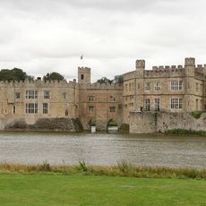
Leeds Castle
115 m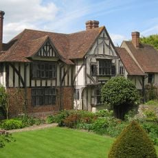
Stoneacre
3.6 km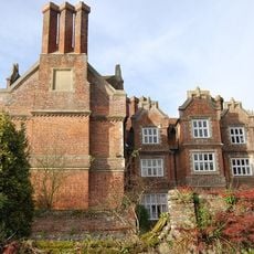
Hollingbourne Manor
2.2 km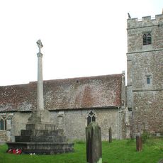
Holy Cross Church, Bearsted
4.1 km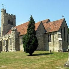
St John the Baptist's Church, Harrietsham
3.9 km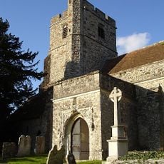
All Saints Church
3.6 km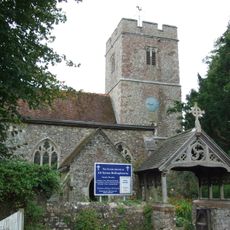
All Saints Church, Hollingbourne
2.1 km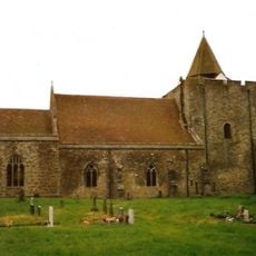
St Nicholas's Church, Leeds
1 km
The Park Gate Inn
617 m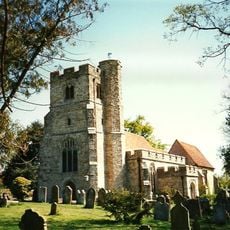
St Peter's and St Paul's Church, East Sutton
3.7 km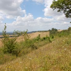
Hollingbourne Downs
3.3 km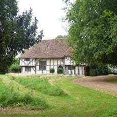
Otham Manor
3.8 km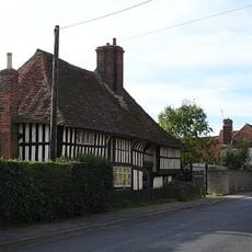
Bell Farm House, Harrietsham
3.7 km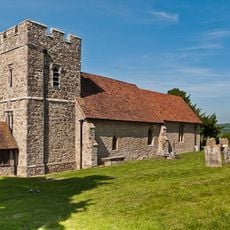
Church of St Margaret
823 m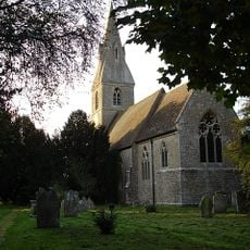
Church of St Mary
3.5 km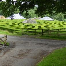
Maze and Grotto
455 m
Holly Tree House
3.8 km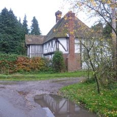
Greenway Forstal Farmhouse
1.6 km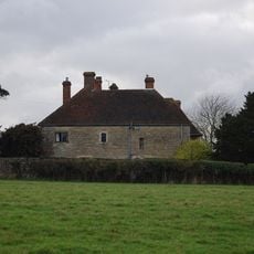
Battel Hall
790 m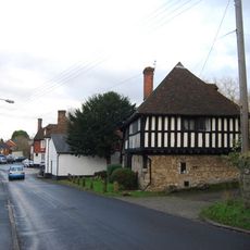
Manor House
1.2 km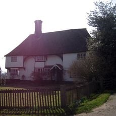
Parsonage Farmhouse
3.9 km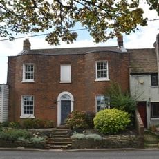
Osborne House
4.2 km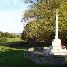
Otham War Memorial
3.7 km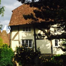
Rose Farmhouse
914 m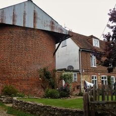
Former Oasthouse About 20 Metres North Of Belks
3.8 km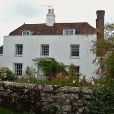
The Limes
3.8 km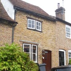
4, Tumblers Hill
4.4 km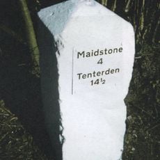
Milestone, Sutton Road, 60m N of Horseshoe Lane
3.4 kmReviews
Visited this place? Tap the stars to rate it and share your experience / photos with the community! Try now! You can cancel it anytime.
Discover hidden gems everywhere you go!
From secret cafés to breathtaking viewpoints, skip the crowded tourist spots and find places that match your style. Our app makes it easy with voice search, smart filtering, route optimization, and insider tips from travelers worldwide. Download now for the complete mobile experience.

A unique approach to discovering new places❞
— Le Figaro
All the places worth exploring❞
— France Info
A tailor-made excursion in just a few clicks❞
— 20 Minutes