
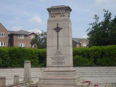
Edmonton War Memorial, war memorial in London
Location: London Borough of Enfield
Inception: 1924
Creator: Louis Frederick Roslyn
GPS coordinates: 51.62489,-0.06046
Latest update: March 7, 2025 04:01
Pymmes Park
1.3 km
Millfield Theatre
1.6 km
All Saints' Church, Edmonton
383 m
Pickett's Lock
1.9 km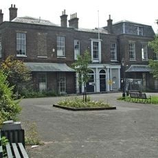
Millfield House
1.6 km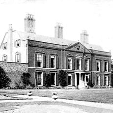
Pymmes House
1.2 km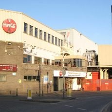
Eley Industrial Estate
1.7 km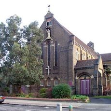
St. Mary with St. John's Church, N18
1.5 km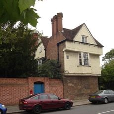
Salisbury House
1.4 km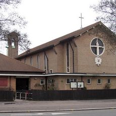
St Alphege's Church
1.7 km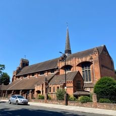
Church of St Aldhelm
1.6 km
Odeon Lee Valley
1.8 km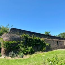
Former Garden Walls In Pymme's Park
1.2 km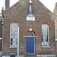
20-20A, Church Street N9
133 m
19-21, Church Street N9
243 m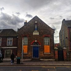
24, Church Street N9
137 m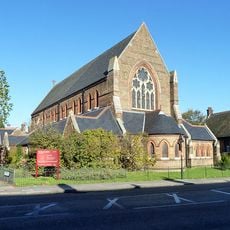
St Peter the Apostle
799 m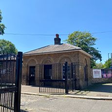
Entrance Lodge To Millfield House
1.7 km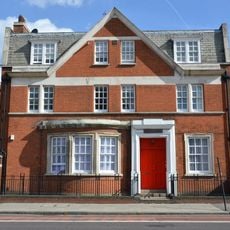
Old Police Station
691 m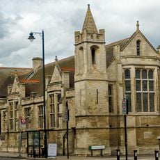
The Charles Lamb Halls
411 m
258 And 260, Fore Street N18
935 m
236, Fore Street N18
997 m
822, High Road N17
2.1 km
Former Edmonton Library
482 m
867 And 869, High Road N17
2 km
Angel Place
1.1 km
859-863, High Road N17
2 km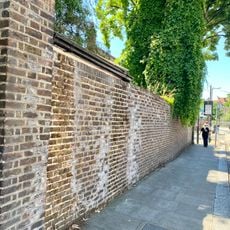
Wall Running West From Just West Of Entrance Lodge To Millfield House
1.8 kmVisited this place? Tap the stars to rate it and share your experience / photos with the community! Try now! You can cancel it anytime.
Discover hidden gems everywhere you go!
From secret cafés to breathtaking viewpoints, skip the crowded tourist spots and find places that match your style. Our app makes it easy with voice search, smart filtering, route optimization, and insider tips from travelers worldwide. Download now for the complete mobile experience.

A unique approach to discovering new places❞
— Le Figaro
All the places worth exploring❞
— France Info
A tailor-made excursion in just a few clicks❞
— 20 Minutes