
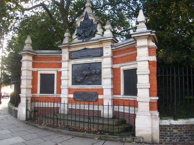
Carabiniers Memorial, war memorial in Chelsea, London
Location: Royal Borough of Kensington and Chelsea
Inception: 1906
Creator: Adrian Jones
GPS coordinates: 51.48592,-0.15038
Latest update: March 17, 2025 11:10
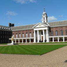
Royal Hospital Chelsea
516 m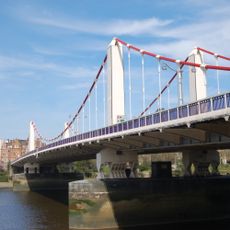
Chelsea Bridge
136 m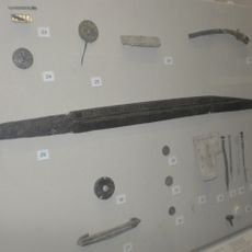
Seax of Beagnoth
490 m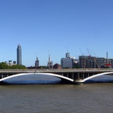
Grosvenor Bridge
240 m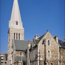
Church of St Barnabas
508 m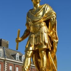
Statue of Charles II
527 m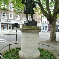
Statue of Wolfgang Amadeus Mozart
570 m
White Ferry House
424 m
The Orange
531 m
Western Pumping Station
160 m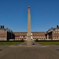
Memorial Obelisk, Royal Hospital
354 m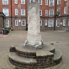
Arnrid Johnston Obelisk
586 m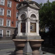
Fountain On East Side Of Junction With Avery Farm Row
572 m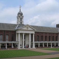
The Royal Hospital Main Hospital Buildings Seven Three Storey Connected Blocks
570 m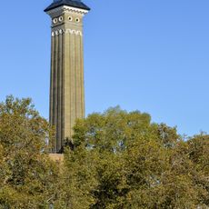
Chimney To Western Pumping Station Behind Number 124 Grosvenor Road
140 m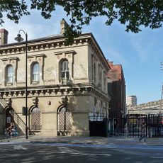
123A, Grosvenor Road Sw1
244 m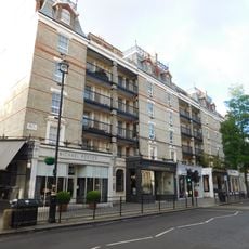
Nos 20A, 20, 22 24, 26, 28, 30 And 30A And 45, 47, 49 To 66, 67, 69, 71 To 88, 91 And 93 To 110 Coleshill Flats
560 m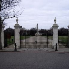
Entrance Gates On Main Axis From Chelsea Embankment Royal Hospital
308 m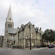
St Barnabas Parsonage And Gateway To North
491 m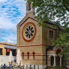
Guards' Chapel At Former Chelsea Barracks
392 m
22-31, Bloomfield Terrace Sw1
497 m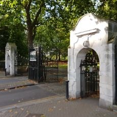
Chelsea Gate To Battersea Park
326 m
Nos 1, 3, 5 To 22, 23, 25 And 27 To 44 Coleshill Flats
593 m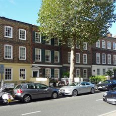
184-188, Ebury Street Sw1
620 m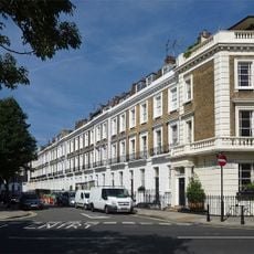
3-33, Alderney Street Sw1
623 m
Gilbert House
390 m
The Royal Hospital North East Range
480 m
St Barnabas' CofE Primary School
534 mReviews
Visited this place? Tap the stars to rate it and share your experience / photos with the community! Try now! You can cancel it anytime.
Discover hidden gems everywhere you go!
From secret cafés to breathtaking viewpoints, skip the crowded tourist spots and find places that match your style. Our app makes it easy with voice search, smart filtering, route optimization, and insider tips from travelers worldwide. Download now for the complete mobile experience.

A unique approach to discovering new places❞
— Le Figaro
All the places worth exploring❞
— France Info
A tailor-made excursion in just a few clicks❞
— 20 Minutes