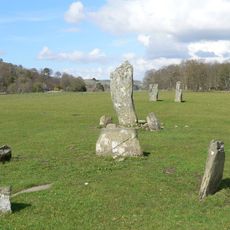
Moine Mhòr, National Nature Reserve in Argyll and Bute, Scotland
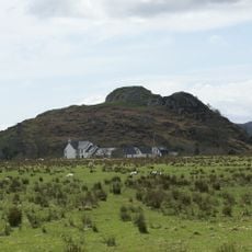
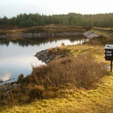
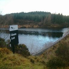
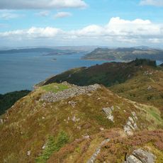
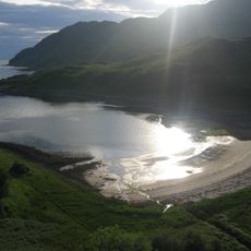
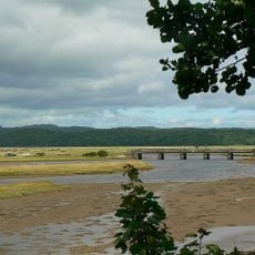
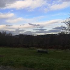
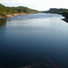
Moine Mhòr is a national nature reserve in western Scotland featuring vast peatlands with mossy hummocks and shallow pools across its protected landscape. The site contains four distinct ecosystems including saltmarsh, bogland, woodland sections, and hillside areas.
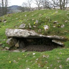
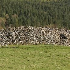
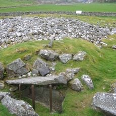
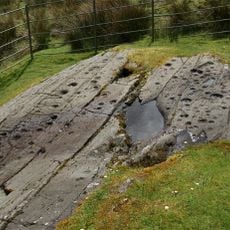
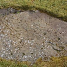
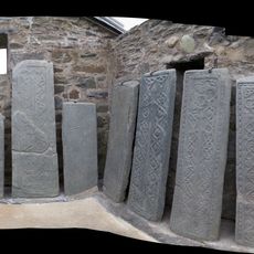
The reserve was established to protect the moorland landscape and the species that inhabit it. The peat deposits within the site preserve records of environmental changes spanning roughly 5,000 years of natural development.
This reserve holds meaning for those interested in Scotland's natural heritage and wetland conservation efforts. The landscape reflects how land management choices shape the survival of species that depend on open moorland and bog environments.
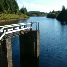
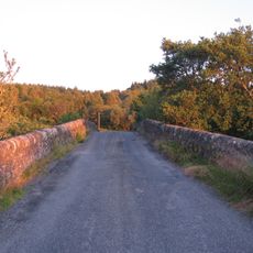
The site is accessible by marked trails with parking areas located near the entrance. Visitors should wear suitable footwear and waterproof clothing since the moorland can be wet and windswept at any time.
The reserve combines four distinct habitat types within a compact area, including both saltmarsh and bog woodland sections. This concentration of ecological variety in one location creates opportunities to observe species that might normally inhabit separate regions.
The community of curious travelers
AroundUs brings together thousands of curated places, local tips, and hidden gems, enriched daily by 60,000 contributors worldwide.