
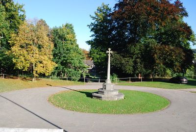
Whitgift School War Memorial, war memorial in Croydon, London, UK
Location: London Borough of Croydon
GPS coordinates: 51.35996,-0.10049
Latest update: March 3, 2025 05:10
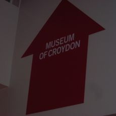
Museum of Croydon
1.3 km
Ruskin House
881 m
Taberner House
1.3 km
Croydon Town Hall
1.4 km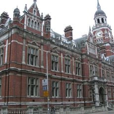
David Lean Cinema
1.4 km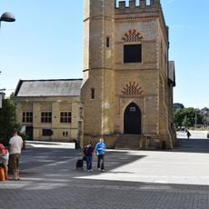
Surrey Street Pumping Station, Croydon
1.4 km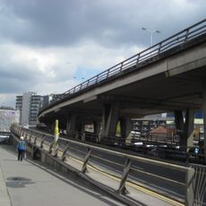
Croydon Flyover
1.1 km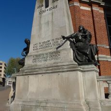
Croydon War Memorial
1.4 km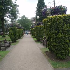
Queen's Gardens
1.3 km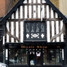
46 South End
658 m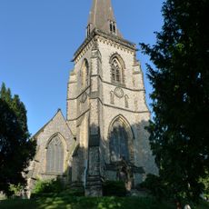
Church of St Peter
517 m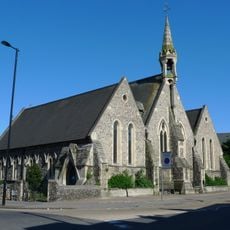
St Andrew's, Croydon
912 m
South London Coroner's Court
1.3 km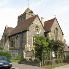
Church of St Augustine
799 m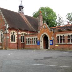
Church Hall United Reformed Church Of St Paul
1.2 km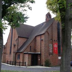
Church of St George
831 m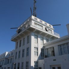
Airport House
1.3 km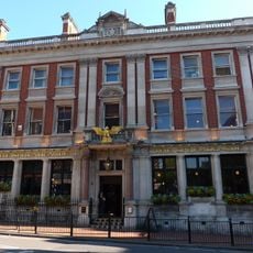
Nat West Bank
1.4 km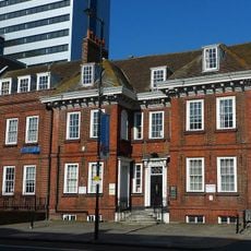
Wrencote House
1.1 km
Union Bank Chambers
1.4 km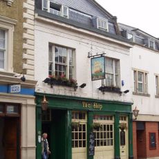
The Ship Public House
1.3 km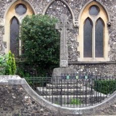
War Memorial at the Church of St Andrew
916 m
Former Auxiliary Fire Service Drill Tower
1.1 km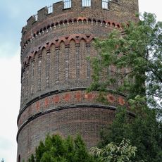
Park Hill Water Tower (In Park Hill Recreation Ground)
1.2 km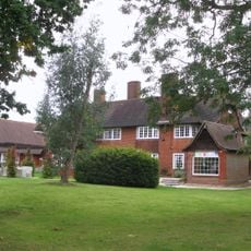
Redcourt
1.2 km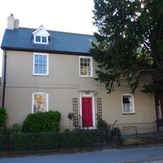
88, Southbridge Road
717 m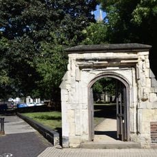
St John the Baptist's Church gateway, Howley Road
1.4 km
Gatepiers To Gates To Number 23
862 mVisited this place? Tap the stars to rate it and share your experience / photos with the community! Try now! You can cancel it anytime.
Discover hidden gems everywhere you go!
From secret cafés to breathtaking viewpoints, skip the crowded tourist spots and find places that match your style. Our app makes it easy with voice search, smart filtering, route optimization, and insider tips from travelers worldwide. Download now for the complete mobile experience.

A unique approach to discovering new places❞
— Le Figaro
All the places worth exploring❞
— France Info
A tailor-made excursion in just a few clicks❞
— 20 Minutes