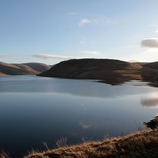
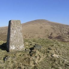
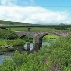
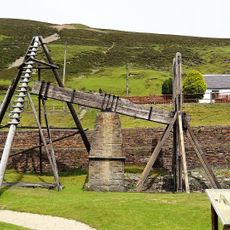
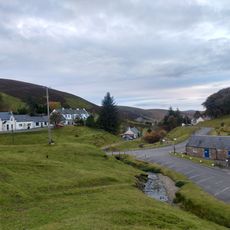
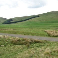
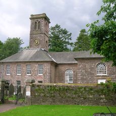
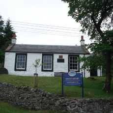
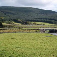
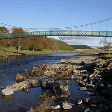
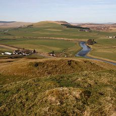
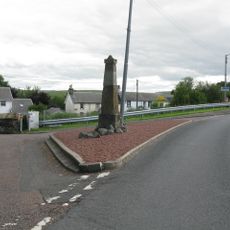
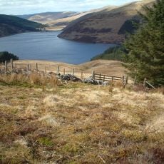
Crawford, Scottish parish in South Lanarkshire, Scotland, UK
Location: South Lanarkshire
Part of: Presbytery of Lanark
Shares border with: Culter, Drumelzier, Tweedsmuir, Moffat, Kirkpatrick-Juxta, Closeburn, Morton, Durisdeer, Sanquhar, Crawfordjohn, Lamington and Wandel
GPS coordinates: 55.41482,-3.64036
Latest update: March 3, 2025 02:31
Crawford Castle
6.7 km
Lowther Hills
6.5 km
Auchen Castle
14.1 km
Daer Reservoir
7 km
Fruid Reservoir
14.2 km
Queensberry
15.2 km
Clyde's Bridge
12.2 km
Wanlockhead Beam Engine
9.3 km
Museum of Lead Mining
9.1 km
Normangill henge
7.5 km
Durisdeer Parish Church
12.9 km
Miners Library
9 km
Arbory Hill
9.3 km
Granton, House And Gate Piers
12.1 km
Carronbridge Viaduct
15.8 km
Clyde railway bridge, Elvanfoot
2.2 km
Elvanfoot, Railway Viaduct
2.9 km
Elvanfoot, Suspension Bridge
3.1 km
Moffat Well
15 km
Rockhill, 14 Beechgrove, Moffat
14.9 km
12 Beechgrove, Moffat
15 km
6 Beechgrove Del Mar, Moffat
15 km
18 Beechgrove, Moffat
14.9 km
Moffat, 20 Beechgrove
14.9 km
Devonshaw Hill
13.7 km
Crawford, Market Cross
6.5 km
Moffat, 13 Beechgrove, Buchan House
14.9 km
Camps Reservoir
9.2 kmReviews
Visited this place? Tap the stars to rate it and share your experience / photos with the community! Try now! You can cancel it anytime.
Discover hidden gems everywhere you go!
From secret cafés to breathtaking viewpoints, skip the crowded tourist spots and find places that match your style. Our app makes it easy with voice search, smart filtering, route optimization, and insider tips from travelers worldwide. Download now for the complete mobile experience.
A unique approach to discovering new places❞
— Le Figaro
All the places worth exploring❞
— France Info
A tailor-made excursion in just a few clicks❞
— 20 Minutes