
Dalserf, Scottish parish in South Lanarkshire, Scotland, UK
Location: South Lanarkshire
Part of: Presbytery of Hamilton
Shares border with: Carluke, Lesmahagow, Stonehouse, Hamilton, Cambusnethan
GPS coordinates: 55.72340,-3.94196
Latest update: March 5, 2025 11:03
Chatelherault Country Park
5.7 km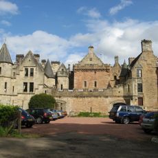
Dalzell House
5.9 km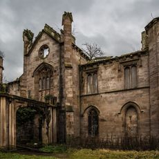
Cambusnethan House
3.6 km
Craignethan Castle
4.6 km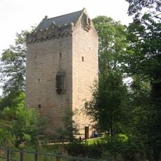
Tower of Hallbar
6.3 km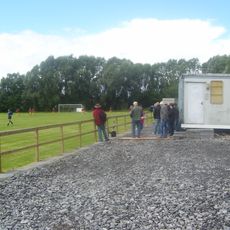
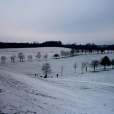
Beltane Park
5.6 km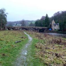
Dalserf, River Clyde, Mauldslie Bridge
2.4 km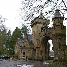
Mauldslie Castle, West Lodge
2.3 km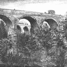
Canderside, Cander Water, Canderside Bridge
2.6 km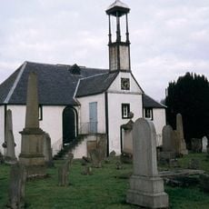
Dalserf Kirk
2.2 km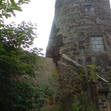
Carluke, Chapel Street, High Mill
6.9 km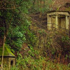
St Patrick's Well, Dalziel Park, Motherwell
6 km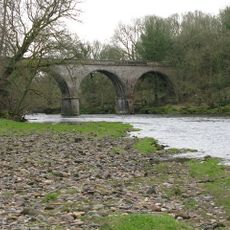
Milton Lockhart Bridge And Gate Lodge
3 km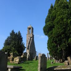
Stonehouse, Manse Road, St Ninian's Church, Churchyard And Martyr's Tomb
4.1 km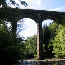
Duke's Bridge, Chatelherault
6.3 km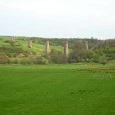
Stonehouse, Railway Viaduct
3.1 km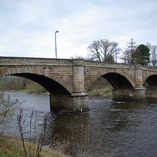
Old Garrion Bridge
2 km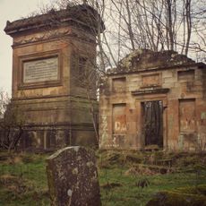
Cambusnethan, St Michael's Graveyard, Belhaven And Stenton Mausoleum
4.7 km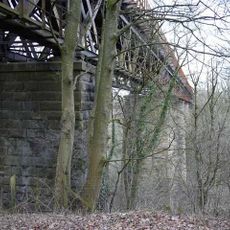
Larkhall Viaduct
2.8 km
Nethan Viaduct
5.1 km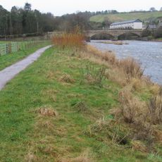
Crossford Bridge
5.5 km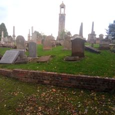
Carluke, St Luke's Church, Churchyard
6.8 km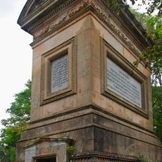
Cambusnethan, St Michael's Graveyard, Belhaven And Stenton Mausoleum
4.7 km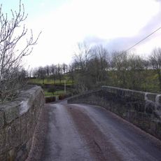
Stonehouse, Millheugh Road, Linthaugh Bridge
3.7 km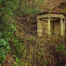
Gazebo, Dalziel Burial Ground
6 km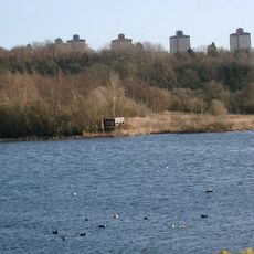
Baron's Haugh RSPB Reserve
6.3 km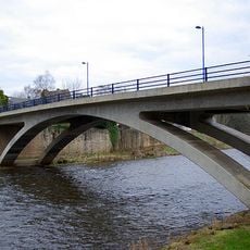
New Garrion Bridge
1.9 km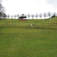
Stonehouse, Millheugh Road, Alexander Hamilton Memorial Park, Bandstand
3.8 kmVisited this place? Tap the stars to rate it and share your experience / photos with the community! Try now! You can cancel it anytime.
Discover hidden gems everywhere you go!
From secret cafés to breathtaking viewpoints, skip the crowded tourist spots and find places that match your style. Our app makes it easy with voice search, smart filtering, route optimization, and insider tips from travelers worldwide. Download now for the complete mobile experience.

A unique approach to discovering new places❞
— Le Figaro
All the places worth exploring❞
— France Info
A tailor-made excursion in just a few clicks❞
— 20 Minutes