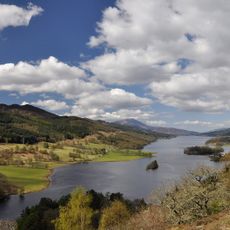
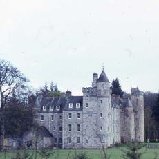
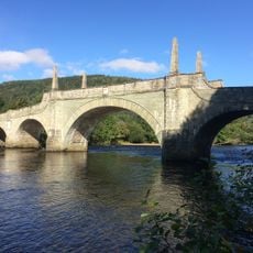
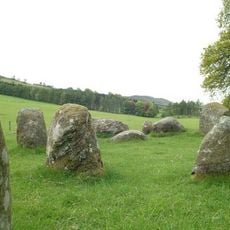
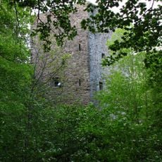
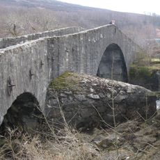
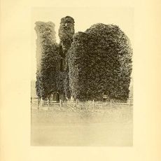
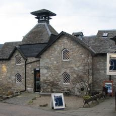
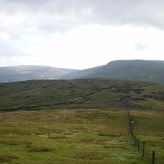
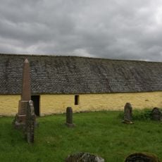
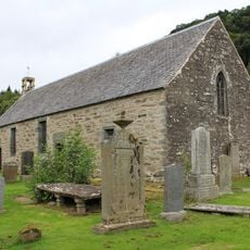
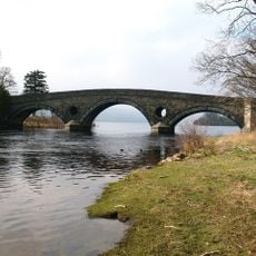
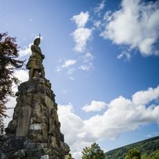
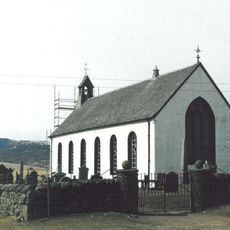
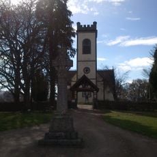
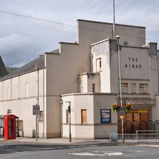
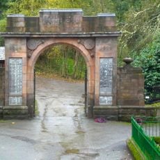
Dull, Scottish parish in Perth and Kinross, Scotland, UK
Location: Perth and Kinross
Part of: Presbytery of Dunkeld
Shares border with: Blair Atholl, Logierait, Moulin, Little Dunkeld, Fowlis Wester, Monzievaird and Strowan, Kenmore, Fortingall, Weem
GPS coordinates: 56.60946,-3.92104
Latest update: March 5, 2025 18:27
Fortingall Yew
8 km
Killiechassie House
4.7 km
Taymouth Castle
4.7 km
Aberfeldy Distillery
4.7 km
Castle Menzies
2.2 km
Loch Tummel
11.3 km
Tummel hydro-electric power scheme
11.8 km
Grandtully Castle
7.7 km
Wade's Bridge
3.2 km
Croft Moraig
2.5 km
Garth Castle
6.2 km
Tummel Bridge, River Tummel, Old Tummel Bridge
12.6 km
Comrie Castle
3.6 km
Falls of Acharn
8.1 km
Falls of Moness
3.1 km
Aberfeldy Town Hall
3.4 km
Farragon Hill
7.5 km
Water Mill, Aberfeldy
3.5 km
Creagan na Beinne
13.6 km
St Mary's Church
7 km
Tummel Bridge Power Station
12.4 km
Weem, Old Parish Kirk And Burial-ground
2.7 km
Kenmore Bridge
5.6 km
Aberfeldy, Taybridge Drive, Black Watch Monument
3.2 km
Amulree Church Of Scotland And Churchyard
13.8 km
Kenmore Parish Church
5.6 km
Birks Cinema
3.7 km
War Memorial, Bridgend, Aberfeldy
3.6 kmReviews
Visited this place? Tap the stars to rate it and share your experience / photos with the community! Try now! You can cancel it anytime.
Discover hidden gems everywhere you go!
From secret cafés to breathtaking viewpoints, skip the crowded tourist spots and find places that match your style. Our app makes it easy with voice search, smart filtering, route optimization, and insider tips from travelers worldwide. Download now for the complete mobile experience.
A unique approach to discovering new places❞
— Le Figaro
All the places worth exploring❞
— France Info
A tailor-made excursion in just a few clicks❞
— 20 Minutes