Tummel hydro-electric power scheme, Hydroelectric power network in Grampian Mountains, Scotland
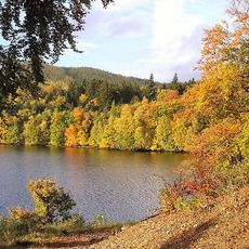
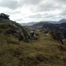
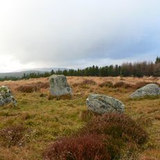
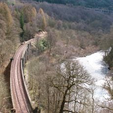
The Tummel hydro-electric power scheme is a network of nine power stations in the Grampian Mountains of Scotland, linked by dams and channels that direct water from connected lochs. The stations sit at different points across a large area of highland terrain in Perth and Kinross.
Legislation passed in 1922 authorized the use of water from the area's lochs to generate electricity for central Scotland. The stations and connecting works were then built in stages from the 1920s through the 1950s.
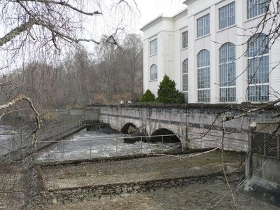
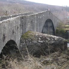
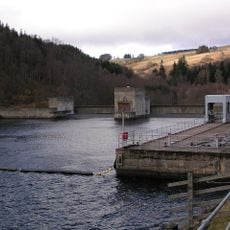
The fish ladder at the Pitlochry dam draws visitors who come to watch salmon moving upstream through a series of stepped pools. The site has become a place where people connect with the river's natural rhythm alongside the industrial structure.
Having your own transport makes it easier to explore several sites, since the stations are spread across a large area of highland roads. The Pitlochry dam is the most accessible starting point and a good place to get a sense of the whole scheme.
The fish ladder at Pitlochry has an underwater viewing window where visitors can watch salmon swimming past just below the surface. This feature was built into the original design, making it one of the few industrial sites of its era planned with this in mind from the start.
The community of curious travelers
AroundUs brings together thousands of curated places, local tips, and hidden gems, enriched daily by 60,000 contributors worldwide.