Maryton, Scottish parish in Angus, Scotland, UK
Location: Angus
Shares border with: Craig, Farnell, Brechin, Dun
GPS coordinates: 56.69990,-2.54546
Latest update: March 21, 2025 14:39
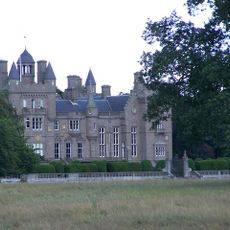
Kinnaird Castle, Brechin
3.3 km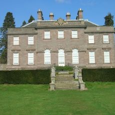
House of Dun
3.3 km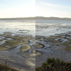
Montrose Basin
2.8 km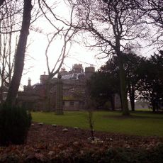
Dunninald Castle
4.3 km
Montrose Library
4.8 km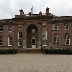
House of Dun
3.3 km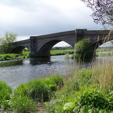
Bridge of Dun
1.9 km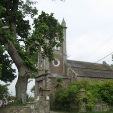
Kirkton Of Craig, Church
3.8 km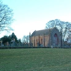
Farnell, Parish Church And Burial-ground
4.1 km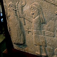
Inchbraoch, Braoch Road
4.8 km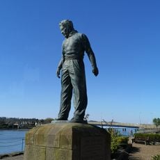
The Seafarer
4.5 km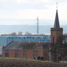
Ferryden, Church Road, Inchbrayock U.f. Church
4.7 km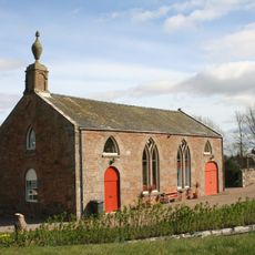
Maryton, Torkirk House
1.8 km
The Whisper
4.8 km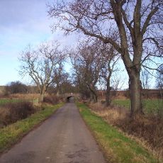
Windyedge Farm Railway Bridge
4.4 km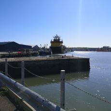
9 Wharf Street, Montrose
4.5 km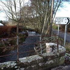
Farnell Bridge
4 km
Montrose, 5-6 Castle Place
4.8 km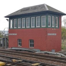
North Signal Box, Montrose Station, Basin View, Montrose
4.8 km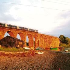
Montrose, Ferryden Viaduct
4 km
St Paul's U.F. Church, Castle Street, Montrose
4.6 km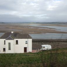
Montrose, 1 Esk Road
4 km
Montrose, 176-178 High Street
4.8 km
Montrose, 3, 4 Castle Place, Castle Stead House
4.8 km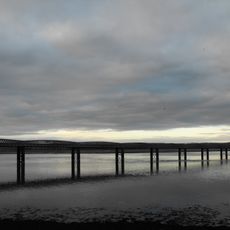
Montrose, South Esk Viaduct
4.2 km
Montrose, 14 Castle Place, Trustees Savings Bank
4.8 km
Montrose, 208-212 High Street, The Clydesdale Bank
4.8 km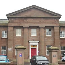
Montrose, 62, 64 Bridge Street, Montrose Royal Infirmary
4.4 kmVisited this place? Tap the stars to rate it and share your experience / photos with the community! Try now! You can cancel it anytime.
Discover hidden gems everywhere you go!
From secret cafés to breathtaking viewpoints, skip the crowded tourist spots and find places that match your style. Our app makes it easy with voice search, smart filtering, route optimization, and insider tips from travelers worldwide. Download now for the complete mobile experience.

A unique approach to discovering new places❞
— Le Figaro
All the places worth exploring❞
— France Info
A tailor-made excursion in just a few clicks❞
— 20 Minutes