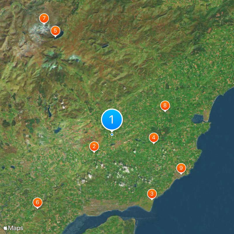
Angus, Administrative council area in eastern Scotland.
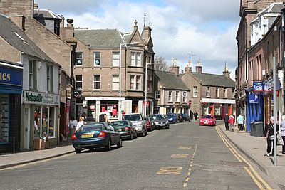
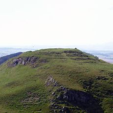
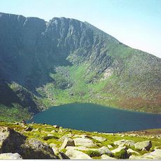
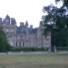
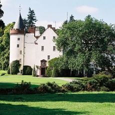
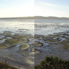
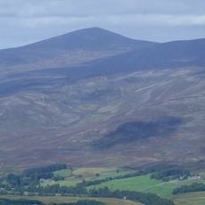
Angus is a council area on Scotland's east coast that stretches across shoreline, rolling hills, and broad farmland between the southern Grampian Mountains and the sea. The landscape shifts between deep glens in the north, fertile lowlands through the middle, and flatter coastal strips with cliffs and sandy beaches.
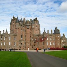
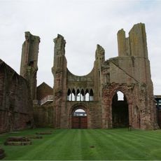
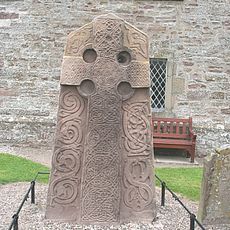
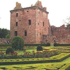
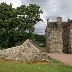
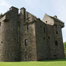
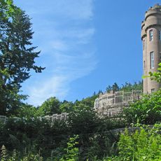
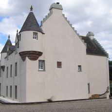
The area takes its name from Pictish king Óengus I, who ruled over this territory in the eighth century and whose influence remains visible at numerous archaeological sites. Settlement traces reach back to Neolithic times, with stone remains from the Bronze Age still scattered across the hills.
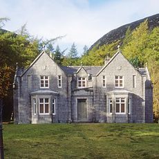
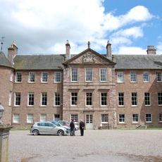
The red sandstone buildings along the coastal towns recall the days when fishermen hauled boats onto the shore and hung nets along harbour walls to dry. Many place names retain their Pictish and Gaelic roots, and locals express their connection to the land through a distinct northeast dialect.
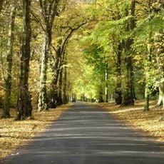
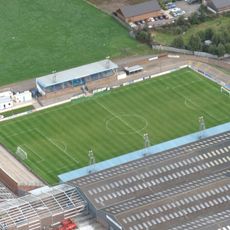
The larger towns sit mostly along the coast or in the southern lowlands, while the northern areas remain more thinly settled and focused on farming. Visitors who take the quieter back roads find easier access to smaller villages and calmer viewpoints away from main routes.
The region produces roughly one third of Scotland's potato harvest and specializes in varieties suited to its sandy coastal soils. Smoked fish from Arbroath can only be made within a tight radius of the town using a traditional method that relies on open barrels and oak smoke.
The community of curious travelers
AroundUs brings together thousands of curated places, local tips, and hidden gems, enriched daily by 60,000 contributors worldwide.