Mount Keen, Mountain summit in Aberdeenshire, Scotland
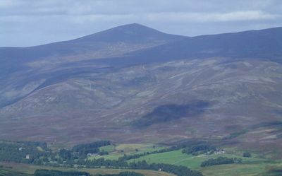
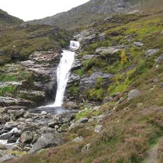
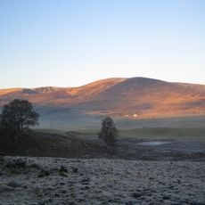
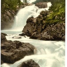
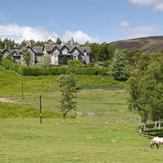
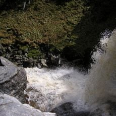
Mount Keen rises to 939 meters and displays a rounded dome shape that stands out against the rolling moorland of eastern Scotland. The terrain around it consists of open heathland with gentle slopes leading toward neighboring peaks and valleys.
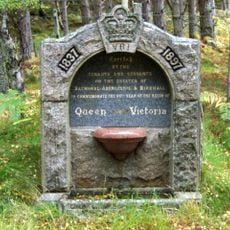
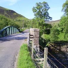
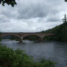
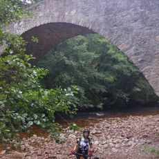
The mountain has served as a natural landmark for routes crossing between Aberdeenshire and Angus since early settlement times. Traditional paths crossing its slopes provided vital connections for people traveling between inland valleys and eastern regions.
Mount Keen, known as Monadh Caoin in Scottish Gaelic, represents the easternmost Munro in Scotland's classification of mountains over 3000 feet.
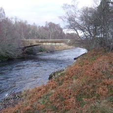
The main route begins at the Invermark car park in Glen Esk, following an obvious track through Glen Mark toward the summit. Start early in the day and come prepared for changeable mountain weather, as conditions can shift rapidly at altitude.
The summit enjoys unusually strong mobile phone coverage for a remote Scottish mountain, thanks to proximity to a transmission tower in the broader area. This connectivity makes the location notable in modern terms, though the mountain itself offers more traditional rewards for visitors.
Location: Aberdeenshire
Location: Angus
Elevation above the sea: 939 m
GPS coordinates: 56.96984,-2.97362
Latest update: December 10, 2025 16:22
Birkhall
9 km
Glas-allt-Shiel
14 km
Invermark Castle
7.3 km
Cambus O' May, Suspension Bridge
10.7 km
Birse Castle
11.7 km
Glenesk Folk Museum
12.8 km
Polhollick, Suspension Bridge
11.6 km
Falls of Unich
7.1 km
Ben Tirran
12.8 km
Dinnet Oakwood Special Area of Conservation
12.4 km
Victoria and Albert Halls, Station Square, Ballater
9.8 km
Linn of Muick
8.1 km
Invermark Lodge
7 km
Falls of Damff
8.1 km
Cross Slab from Loch Kinord
13.2 km
Tarfside, Maule Memorial Church
11.5 km
Tarfside, St Droston's Episcopal Church
10.9 km
Lochlee Parish Church
7.5 km
Ballater, Church Square, Glenmuick Parish Church
9.7 km
Commemorative Fountain, Corner Of Braemar Road And Invercauld Road
10 km
Tullich Churchyard and symbol stones
10.8 km
Dinnet Bridge
12.4 km
Ballater Library
9.8 km
Gleneffock Bridge
9.4 km
Royal Bridge
9.4 km
AA Sentry Box (No 472), Cambus O'May
10.8 km
Bridge of Tanar
11.9 km
Loch Kinord
12.9 kmVisited this place? Tap the stars to rate it and share your experience / photos with the community! Try now! You can cancel it anytime.
Discover hidden gems everywhere you go!
From secret cafés to breathtaking viewpoints, skip the crowded tourist spots and find places that match your style. Our app makes it easy with voice search, smart filtering, route optimization, and insider tips from travelers worldwide. Download now for the complete mobile experience.
A unique approach to discovering new places❞
— Le Figaro
All the places worth exploring❞
— France Info
A tailor-made excursion in just a few clicks❞
— 20 Minutes