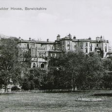
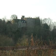
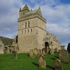
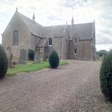
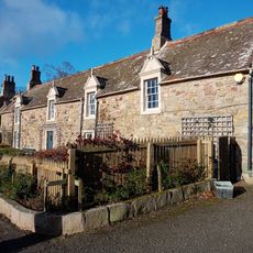
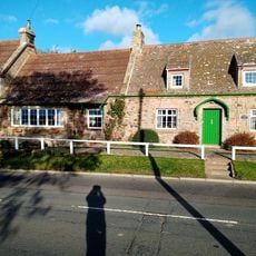
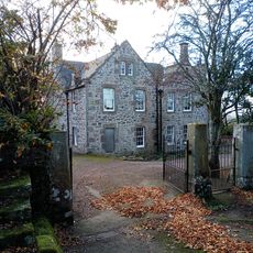
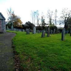
Chirnside, Scottish parish in Scottish Borders, Scotland, UK
Location: Scottish Borders
Capital city: Chirnside
Part of: Presbytery of Chirnside
Shares border with: Ayton, Foulden, Hutton, Edrom, Bunkle and Preston, Coldingham
GPS coordinates: 55.80695,-2.19255
Latest update: March 4, 2025 11:00
Blackadder House
3.9 km
Hutton Castle
2.3 km
Blanerne Castle
4.9 km
Billie Castle
3.9 km
Chirnside Parish Church
1.5 km
Edrom Church
5.4 km
Chirnside, Kirkgate, Dovecot
1.4 km
Foulden Tithe Barn
5.2 km
Railway Bridge (West), Ayton
5 km
Railway Bridge (East), Ayton
5.1 km
Foulden Parish Church
5.2 km
Foulden, No 16
4.9 km
No 37, Foulden
4.9 km
Ayton, Beanburn, Summerhill, Coach House
5.7 km
No 37A, Foulden
4.8 km
Foulden, Schoolhouse
4.8 km
Foulden, No 15
5 km
No 33, Foulden
4.8 km
Foulden Manse
5.2 km
Foulden Parish Church, Churchyard
5.2 km
Edrom Newton, Steading
5.5 km
Reston, Main Street, Reston Auction Mart, Sheep Ring
5 km
No 40, Foulden
4.8 km
No 36, Foulden
4.9 km
Foulden, No 38
5 km
Foulden, School
4.8 km
Ayton, Beanburn, Summerhill
5.7 km
The Craw Inn, Auchencrow
4.5 kmReviews
Visited this place? Tap the stars to rate it and share your experience / photos with the community! Try now! You can cancel it anytime.
Discover hidden gems everywhere you go!
From secret cafés to breathtaking viewpoints, skip the crowded tourist spots and find places that match your style. Our app makes it easy with voice search, smart filtering, route optimization, and insider tips from travelers worldwide. Download now for the complete mobile experience.
A unique approach to discovering new places❞
— Le Figaro
All the places worth exploring❞
— France Info
A tailor-made excursion in just a few clicks❞
— 20 Minutes