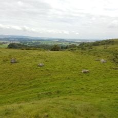
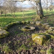
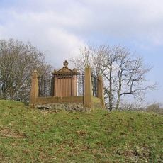
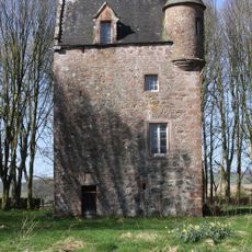
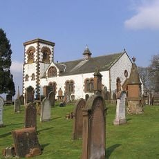
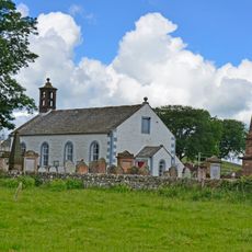
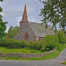
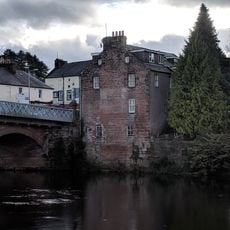
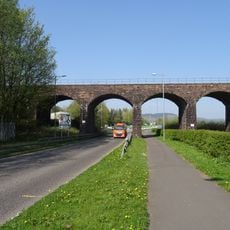
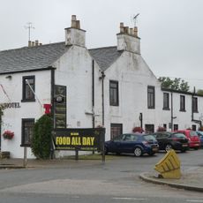
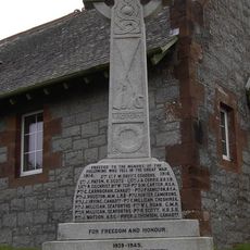
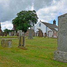
Lochrutton, Scottish parish in Dumfries and Galloway, Scotland, UK
Location: Dumfries and Galloway
Shares border with: Terregles, Troqueer, New Abbey, Kirkgunzeon, Urr, Kirkpatrick Irongray
GPS coordinates: 55.03730,-3.74233
Latest update: April 7, 2025 08:33
Hills Tower
2.5 km
Glenkiln Sculpture Park
6.8 km
Kingholm Quay
8.7 km
Drumcoltran Tower
4.9 km
Easthill stone circle
3.4 km
St Queran's Well
6.9 km
Hallhill, Martyr's Tomb
7.2 km
Fourmerkland Tower
8.2 km
Goldielea Viaduct
4.4 km
Irongray Church And Churchyard
7.3 km
Kirkgunzeon Parish Church
6.4 km
Lochend Church Of Scotland
3.6 km
East Cluden Mill
8.5 km
Routin Bridge
6.9 km
Dumfries, 3, 4 Galloway Street, Clydesdale Bank
8.7 km
Drumpark House, East Lodge
7.4 km
46 Galloway Street, Dumfries
8.7 km
Garroch Viaduct
6.4 km
Crocketford, Castle Douglas Road, The Galloway Arms Hotel
5.6 km
Kirkgunzeon, War Memorial
6.4 km
Dumfries, 1, 2 Galloway Street
8.7 km
Newtonairds, Lodge
7.2 km
Dumfries, 13-19 Glasgow Street
8.6 km
43, 44 Galloway Street, Dumfries
8.7 km
45 Galloway Street, Dumfries
8.7 km
Kirkgunzeon Churchyard
6.4 km
Dumfries, 1 Glasgow Street
8.6 km
Dumfries, New Abbey Road, Maxwelltown War Memorial
8.2 kmVisited this place? Tap the stars to rate it and share your experience / photos with the community! Try now! You can cancel it anytime.
Discover hidden gems everywhere you go!
From secret cafés to breathtaking viewpoints, skip the crowded tourist spots and find places that match your style. Our app makes it easy with voice search, smart filtering, route optimization, and insider tips from travelers worldwide. Download now for the complete mobile experience.
A unique approach to discovering new places❞
— Le Figaro
All the places worth exploring❞
— France Info
A tailor-made excursion in just a few clicks❞
— 20 Minutes