Spott, Scottish parish
Location: East Lothian
Location: Scottish Borders
Part of: Presbytery of Dunbar
Shares border with: Innerwick, Cranshaws, Stenton, Dunbar
GPS coordinates: 55.97219,-2.52419
Latest update: March 5, 2025 21:15
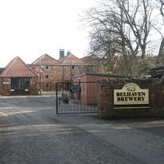
Belhaven Brewery
2.9 km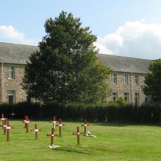
Sancta Maria Abbey, Nunraw
9.8 km
White Castle, East Lothian
9.2 km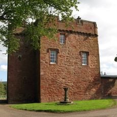
Whittingehame Tower
7.5 km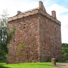
Stoneypath Tower
8.9 km
Blackcastle Hill, East Lothian
5.5 km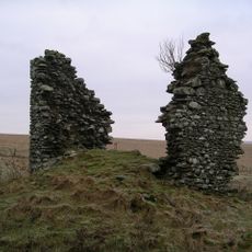
Gamelshiel Castle
11.1 km
Whiteadder Reservoir
12.2 km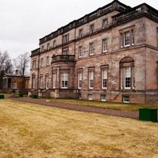
Whittingehame House
7.1 km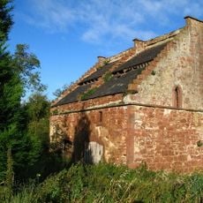
Bowerhouse
1.2 km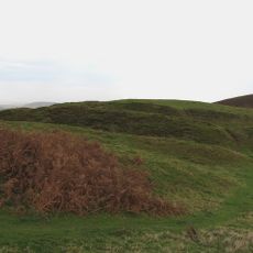
White Castle Fort,settlement 500m NW of,Fallow Green Rig
9.2 km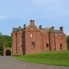
Nunraw House
9.1 km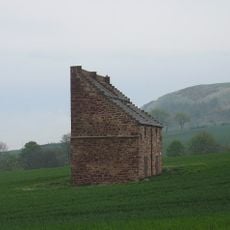
Spott House
606 m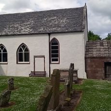
Oldhamstocks, Oldhamstocks Parish Church
8.1 km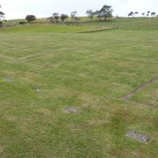
Doonhill Homestead
1.3 km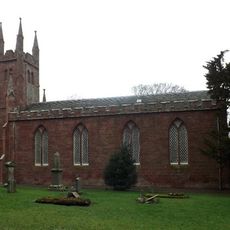
Parish Church, Whittingehame
7.3 km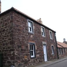
4 Duke Street, Belhaven, Dunbar
3.1 km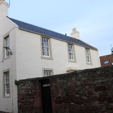
Dunbar, Belhaven, 22 Duke Street, Charnwood
3.1 km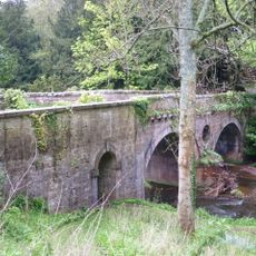
Biel House, Bridge
3.7 km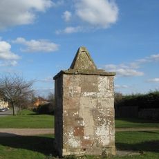
Oldhamstocks, Village Green, Pump
8.3 km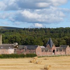
Papple Farm Steading
8.8 km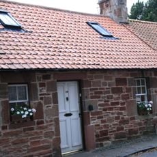
Dunbar, Belhaven, 10 North Street
3.2 km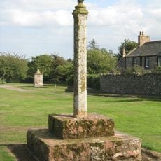
Oldhamstocks, Village Green, Market Cross
8.2 km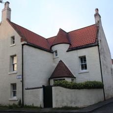
Dunbar, Belhaven, 1 North Street
3.1 km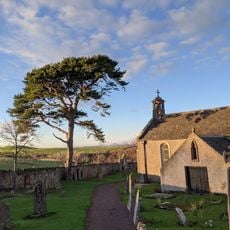
Spott Parish Church, Session House And Graveyard
12 m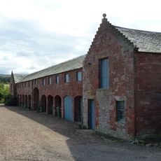
Eastfield
6.7 km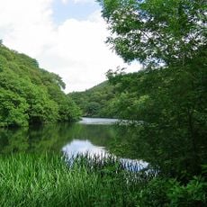
Pressmennan Lake
5.2 km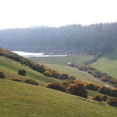
Donolly Reservoir
11.8 kmVisited this place? Tap the stars to rate it and share your experience / photos with the community! Try now! You can cancel it anytime.
Discover hidden gems everywhere you go!
From secret cafés to breathtaking viewpoints, skip the crowded tourist spots and find places that match your style. Our app makes it easy with voice search, smart filtering, route optimization, and insider tips from travelers worldwide. Download now for the complete mobile experience.

A unique approach to discovering new places❞
— Le Figaro
All the places worth exploring❞
— France Info
A tailor-made excursion in just a few clicks❞
— 20 Minutes