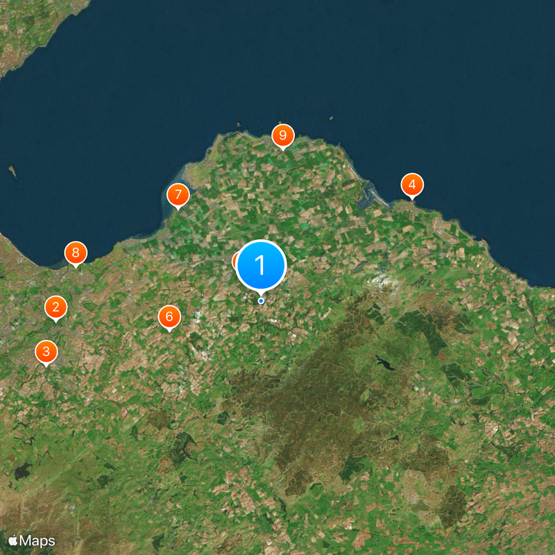
East Lothian, Council area in southeastern Scotland
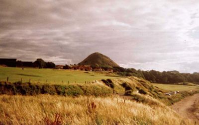
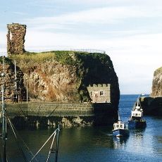
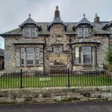
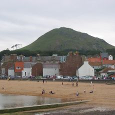
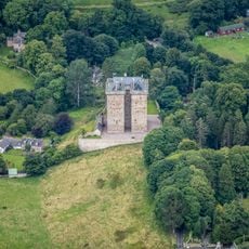
East Lothian is a council area in southeastern Scotland covering about 680 square kilometers between Edinburgh and the North Sea. The region runs along the southern shore of the Firth of Forth and includes towns such as Haddington, Dunbar and North Berwick, along with many coastal settlements featuring long sandy beaches.
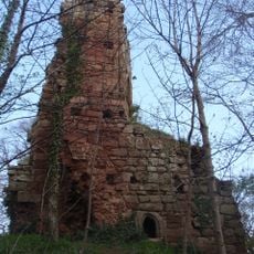
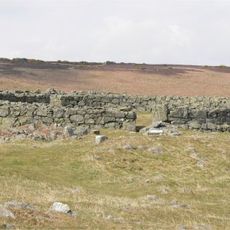
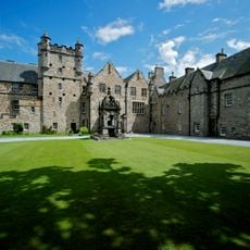
This territory belonged to the Anglo-Saxon kingdom of Bernicia until the 10th century, when it came under Scottish rule. The region was known as Haddingtonshire until 1921 and changed its administrative structure several times over the centuries.
The national banner with its white saltire on blue comes from Athelstaneford, where King Óengus II saw a cross in the sky before battle in 832. Visitors today find a flag heritage centre near the old church, tracing how the design became Scotland's emblem.
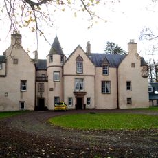
Haddington serves as the administrative center and coordinates services such as schools, healthcare and waste collection for residents. The region is easily reached by car or train, with several railway stations along the coast providing access to different towns.
Between 2001 and 2022 the region recorded a population increase of nearly 25 percent, the highest rise among all Scottish council areas. This shift shows in new housing estates and expanded schools built during the past two decades.
The community of curious travelers
AroundUs brings together thousands of curated places, local tips, and hidden gems, enriched daily by 60,000 contributors worldwide.