Westerkirk, Scottish parish in Dumfries and Galloway, Scotland, UK
Location: Dumfries and Galloway
Shares border with: Teviothead, Ewes, Langholm, Tundergarth, Hutton and Corrie, Eskdalemuir
GPS coordinates: 55.22617,-3.09229
Latest update: March 2, 2025 21:56
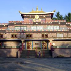
Kagyu Samyé Ling Monastery and Tibetan Centre
9.1 km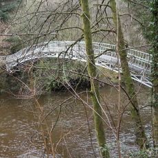
Duchess Bridge
9.2 km
Eskdalemuir Observatory
12 km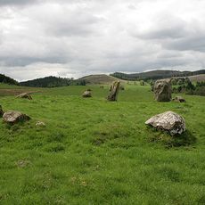
Loupin Stanes
6.1 km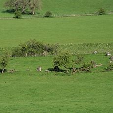
Girdle Stanes
6.1 km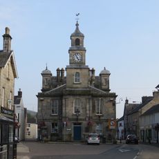
Langholm, High Street, Town Hall
10.3 km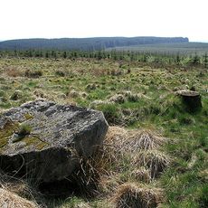
Whitcastles stone circle
9.6 km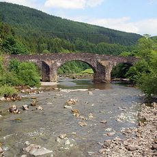
Bentpath, Esk Bridge
2.8 km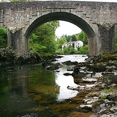
Skipper's Bridge
11.5 km
King Shaw’s Grave
4.7 km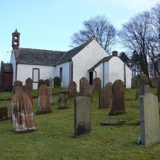
Boreland, Hutton And Corrie Parish Church And Churchyard
13.7 km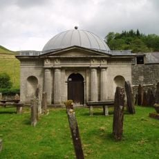
Westerkirk Parish Church, Johnstone Mausoleum
2.7 km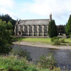
Langholm Parish Church, Church Of Scotland
10.2 km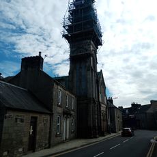
Langholm, Townhead, Erskine Church
10.1 km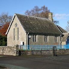
Westerkirk Parish Library
2.9 km
Langholm Lodge, Episcopal Church
9.6 km
Langholm Library
10.3 km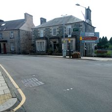
Langholm, 11 High Street, Townhead House
10.1 km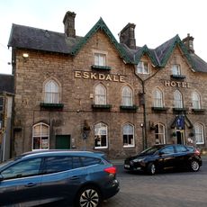
Langholm, High Street, Eskdale Hotel
10.3 km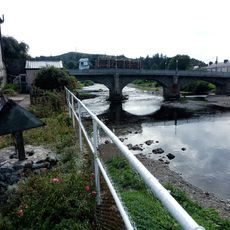
Townhead Bridge
10.1 km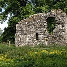
Langholm Castle
9.8 km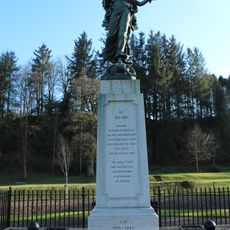
Langholm War Memorial
10.2 km
Ewesbank, Stable
9.7 km
Ewesbank, Cart Shed
9.7 km
Langholm, Townhead, Clinthead
10 km
Langholm, Townhead, Eskvale
10.1 km
Caerlan Rig
12.9 km
Ewesbank Farmhouse
9.7 kmVisited this place? Tap the stars to rate it and share your experience / photos with the community! Try now! You can cancel it anytime.
Discover hidden gems everywhere you go!
From secret cafés to breathtaking viewpoints, skip the crowded tourist spots and find places that match your style. Our app makes it easy with voice search, smart filtering, route optimization, and insider tips from travelers worldwide. Download now for the complete mobile experience.

A unique approach to discovering new places❞
— Le Figaro
All the places worth exploring❞
— France Info
A tailor-made excursion in just a few clicks❞
— 20 Minutes