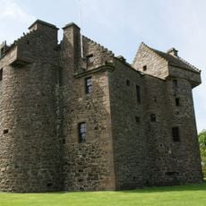
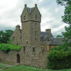
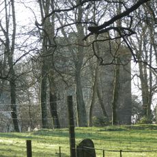
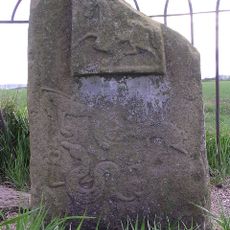
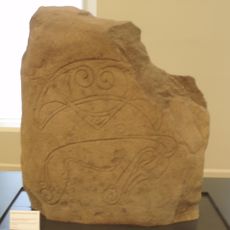
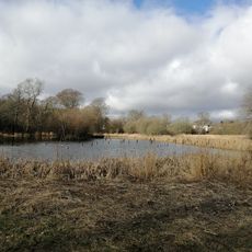
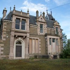
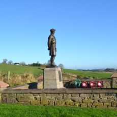
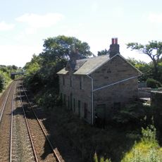
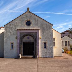
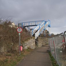
Murroes, Scottish parish
Location: Angus
Location: Dundee City
Shares border with: Monikie, Monifieth, Dundee Combination, Dundee, Mains and Strathmartine, Tealing, Inverarity
GPS coordinates: 56.51916,-2.90844
Latest update: March 3, 2025 19:28
Claypotts Castle
4.9 km
Mains Castle
4.8 km
Dundee Museum of Transport
6.4 km
Powrie Castle
3 km
Strathmartine Hospital
5.7 km
Affleck Castle
5.6 km
Balluderon Stone
6.8 km
Strathmartine Castle Stone
6.8 km
St Luke's Church, Broughty Ferry
5.8 km
Trottick Mill Ponds
4.7 km
Ballumbie Castle
2.3 km
Tealing, souterrain
3.3 km
Tealing Dovecot
3.2 km
Balmossie Viaduct
5.8 km
Linlathen East Bridge
4.4 km
Dundee, Eliza Street, Clepington Primary School
6 km
Dundee, Broughty Ferry, 96 Dundee Road, St Stephen's Church
5.9 km
Dundee, Broughty Ferry, 2 Whinny Brae, Eastern Primary School
6.2 km
Gagie, Gagie House
1.1 km
Tealing Parish Church And Churchyard
4 km
Dundee, Broughty Ferry, 42 Camphill Road, Craig-gowan
6.1 km
Powrie, Black Watch War Memorial
3.4 km
Mains Castle
4.8 km
Dundee, Balmossie, Bridge
5.5 km
Dundee, Baxter Park, Pavilion
5.8 km
Dundee, West Ferry, 20 Douglas Terrace
5.8 km
Dundee, Caird Avenue, United Free Church
6.4 km
Dundee, West Ferry, Beach Lane, Railway Footbridge
5.7 kmReviews
Visited this place? Tap the stars to rate it and share your experience / photos with the community! Try now! You can cancel it anytime.
Discover hidden gems everywhere you go!
From secret cafés to breathtaking viewpoints, skip the crowded tourist spots and find places that match your style. Our app makes it easy with voice search, smart filtering, route optimization, and insider tips from travelers worldwide. Download now for the complete mobile experience.
A unique approach to discovering new places❞
— Le Figaro
All the places worth exploring❞
— France Info
A tailor-made excursion in just a few clicks❞
— 20 Minutes