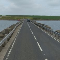
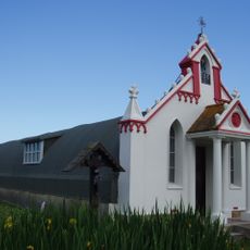
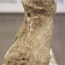
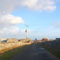
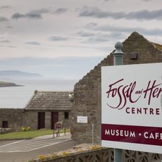
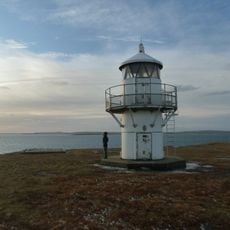
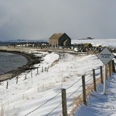
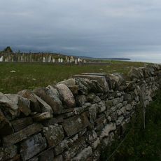
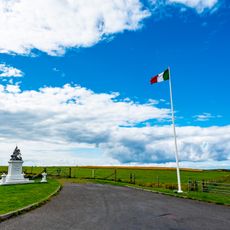
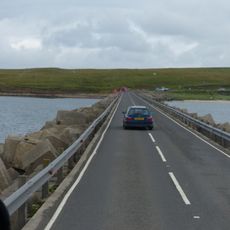
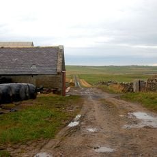
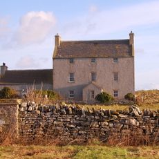
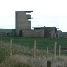
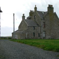
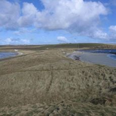
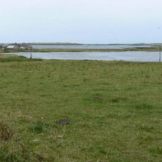
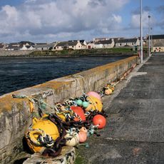
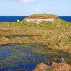
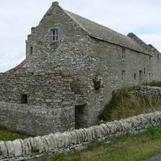
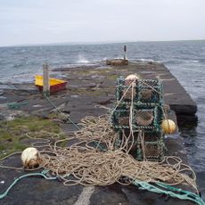
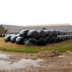
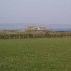
Holm, Scottish parish in Orkney Islands, Scotland, UK
Location: Orkney Islands
Shares border with: South Ronaldsay, Kirkwall and St Ola, St Andrews and Deerness
GPS coordinates: 58.91197,-2.88776
Latest update: March 6, 2025 05:00
Churchill Barriers
2.2 km
Italian Chapel
2.5 km
Mine Howe
3.6 km
East Broch of Burray
4.3 km
Bu sands pictish figure
5.7 km
Burray Bone Lair
6.2 km
Orkney Fossil and Vintage Centre
6.1 km
Rose Ness Lighthouse, Orkney
5.4 km
Holm, St Nicholas' Church
3.2 km
Burray, Southtown, St Lawrence's Church
6.7 km
Lamb Holm, Italian Chapel, Statue
2.5 km
Churchill Barrier No. 3
4.8 km
Store, Mirkady
6.4 km
Burray, Bu Of Burray
6 km
Holm Battery, coast artillery battery 195m SW of East Breckan
1.4 km
Braebuster
6.1 km
Dingy's Howe,broch,Upper Sanday
5.8 km
Loch of Ayre, broch at N end of,St Mary's
2.6 km
St Mary's, Pier
2.3 km
Burray Ness, anti-aircraft battery (WW1), Burray
6.8 km
Howa
3 km
St Mary's, Storehouse
2.1 km
Mirkady Point, Herring-curing Station
6.1 km
Wideford
6 km
Tankerness Mill
6 km
Tankerness, Hall Of Tankerness, Fishing Station, Pier
6.4 km
Mirkady
6.4 km
Tankerness, Old St Andrews Manse, Ancilliary Building
6.2 kmReviews
Visited this place? Tap the stars to rate it and share your experience / photos with the community! Try now! You can cancel it anytime.
Discover hidden gems everywhere you go!
From secret cafés to breathtaking viewpoints, skip the crowded tourist spots and find places that match your style. Our app makes it easy with voice search, smart filtering, route optimization, and insider tips from travelers worldwide. Download now for the complete mobile experience.
A unique approach to discovering new places❞
— Le Figaro
All the places worth exploring❞
— France Info
A tailor-made excursion in just a few clicks❞
— 20 Minutes