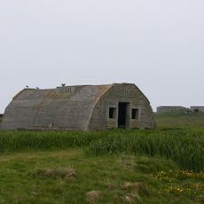
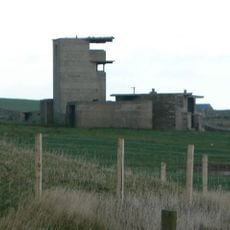
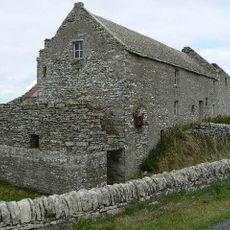
Mine Howe, Iron Age archaeological site in Tankerness, Orkney Islands, Scotland.
Mine Howe is an archaeological site in Tankerness featuring an underground chamber accessed via a stone stairway with multiple levels and passages. The structure uses carefully fitted stones and a corbelled roof, with a half-landing creating separate openings at different heights.
The site dates to the Iron Age roughly 2000 years ago and shows building practices common to that period in Scotland. The underground structure was likely designed for specific purposes such as storage or protection.
The chamber shows how Iron Age inhabitants understood stone construction and spatial design in ways that still stand out to visitors. Such knowledge reflects the technical skills and planning of ancient communities in this remote northern region.
The site is located southeast of Kirkwall and requires protective gear such as helmets when entering the underground spaces. Access is limited to protect the archaeological remains and ensure visitor safety.
The underground chamber is unusually complex for its time, with a half-landing connecting different spaces at separate levels. This multi-level design was rare in northern Scotland and reveals distinctive architectural planning.
Location: Orkney Islands
GPS coordinates: 58.93877,-2.85235
Latest update: December 10, 2025 20:09
Churchill Barriers
5.7 km
Italian Chapel
5.8 km
Bishop's Palace
7.6 km
East Broch of Burray
7.5 km
Deerness, Covenanters Monument
6.5 km
Rose Ness Lighthouse, Orkney
7.4 km
Holm, St Nicholas' Church
5.4 km
Lamb Holm, Italian Chapel, Statue
5.9 km
Rerwick Head, coastal battery (WW2) and camp
6.5 km
Store, Mirkady
3.2 km
Kirkwall, Holm Road, Highland Park Distillery
6.8 km
Kirkwall, Berstane Road, Papdale House, Doocot
7.2 km
Holm Battery, coast artillery battery 195m SW of East Breckan
4.6 km
Mirkady Point, Herring-curing Station
2.8 km
Braebuster
3.7 km
Berstane, Dovecot
5.6 km
Mainland, The Brough
5.3 km
Dingy's Howe,broch,Upper Sanday
4.6 km
Loch of Ayre, broch at N end of,St Mary's
6.1 km
St Mary's, Storehouse
5.7 km
Tankerness Mill
2.5 km
Pavilion, Bignold Park, Bignold Park Road, Kirkwall
7.2 km
Howa
5.8 km
St Mary's, Pier
5.9 km
Wideford
5.4 km
Mirkady
3.1 km
Tankerness, Hall Of Tankerness, Fishing Station, Pier
2.8 km
Tankerness, Old St Andrews Manse, Ancilliary Building
2.8 kmVisited this place? Tap the stars to rate it and share your experience / photos with the community! Try now! You can cancel it anytime.
Discover hidden gems everywhere you go!
From secret cafés to breathtaking viewpoints, skip the crowded tourist spots and find places that match your style. Our app makes it easy with voice search, smart filtering, route optimization, and insider tips from travelers worldwide. Download now for the complete mobile experience.
A unique approach to discovering new places❞
— Le Figaro
All the places worth exploring❞
— France Info
A tailor-made excursion in just a few clicks❞
— 20 Minutes