
Kettins, Scottish parish in Perth and Kinross, Scotland, UK
Location: Perth and Kinross
Shares border with: Newtyle, Lundie, Fowlis Easter, Longforgan, Cargill, Coupar Angus
GPS coordinates: 56.52948,-3.22534
Latest update: March 8, 2025 23:21
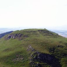
Dunsinane Hill
7.3 km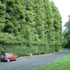
Meikleour Beech Hedges
8.5 km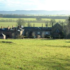
Rossie Priory
8.3 km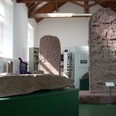
Meigle Sculptured Stone Museum
7.5 km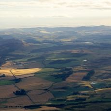
Sidlaws
4.9 km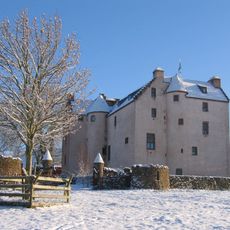
Hatton Castle
6.2 km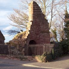
Coupar Angus Abbey
3.4 km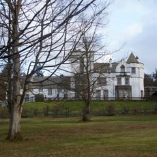
Kinpurnie Castle
4.4 km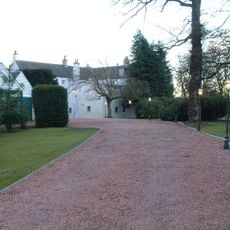
Auchterhouse Castle
8.4 km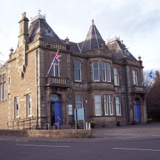
Town Hall Including Boundary Walls, Union Street
3.1 km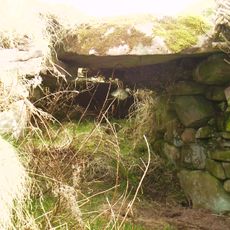
Pitcur earth house
968 m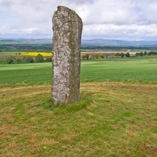
Baldowrie Symbol Stone
3.1 km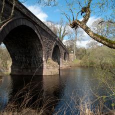
Bridge Of Isla
8.3 km
Auchterhouse Mansion
8.4 km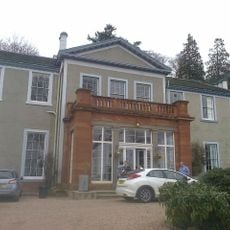
Ballindean House
8.5 km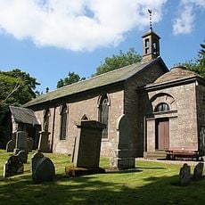
Lundie Parish Church
4.6 km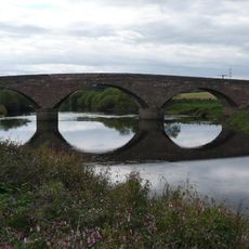
Bridge of Couttie
4.5 km
Stone Circle at Bandirran
8.1 km
Kinrossie Village Hall
8.3 km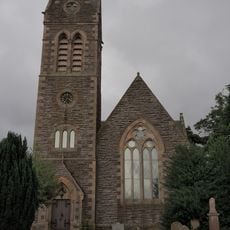
Newtyle Parish Church
5.7 km
Bridge Of Dean
8.6 km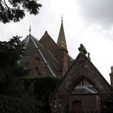
Coupar Angus, Church Street, Ardler Church
4.2 km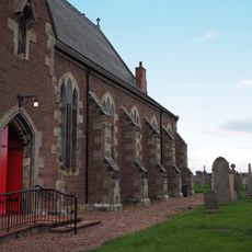
Coupar Angus, Queen Street, Abbey Church
2.9 km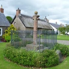
Kinrossie, Mercat Cross
8.2 km
Dunsinane Hill
7.3 km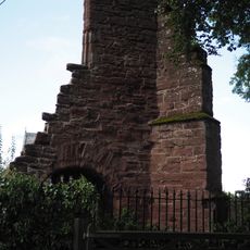
Coupar Angus, Queen Street, Cistercian Abbey Remains
2.8 km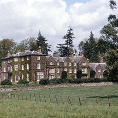
Arthurstone House
5 km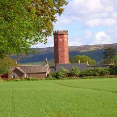
Arthurstone House, Water Tower
5 kmReviews
Visited this place? Tap the stars to rate it and share your experience / photos with the community! Try now! You can cancel it anytime.
Discover hidden gems everywhere you go!
From secret cafés to breathtaking viewpoints, skip the crowded tourist spots and find places that match your style. Our app makes it easy with voice search, smart filtering, route optimization, and insider tips from travelers worldwide. Download now for the complete mobile experience.

A unique approach to discovering new places❞
— Le Figaro
All the places worth exploring❞
— France Info
A tailor-made excursion in just a few clicks❞
— 20 Minutes