
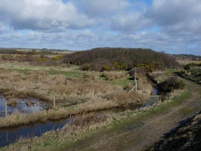
Lymington and Keyhaven Marshes, Hampshire nature reserve
Location: Lymington and Pennington
GPS coordinates: 50.73300,-1.55100
Latest update: March 3, 2025 23:46
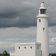
Hurst Point Lighthouse
2.8 km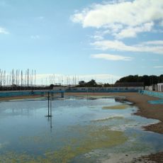
Lymington Open Air Sea Water Baths
2.7 km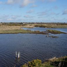
Keyhaven, Pennington, Oxey and Normandy Marshes
659 m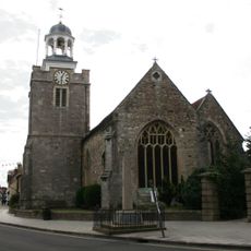
Church of St. Thomas the Apostle
2.8 km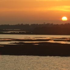
Hurst Castle And Lymington River Estuary
2.6 km
Hurst Castle Low Lighthouses
2.9 km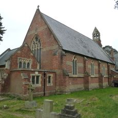
Church of St Mark
2.5 km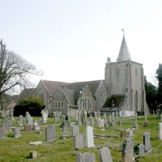
Church of All Saints
2.8 km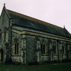
Church of All Saints
2 km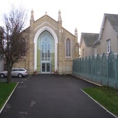
United Reform Church
2.8 km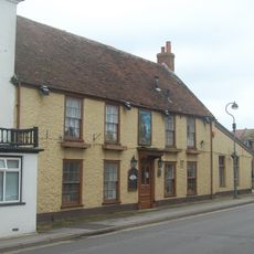
Crown Inn
2.7 km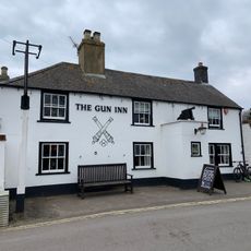
The Gun Public House
1.7 km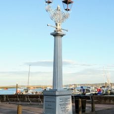
Burrard-Neale Memorial Gas Lamp
2.8 km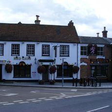
The Red Lion Public House
2.9 km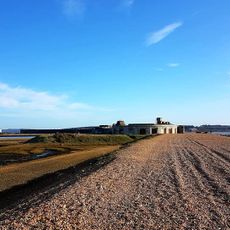
Hurst Castle and lighthouse
2.9 km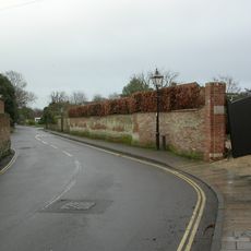
Garden wall to Elm Grove House
2.6 km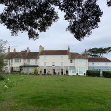
East Saltgrass Old Saltgrass Saltgrass
2.1 km
Milford-on-Sea Library
2.7 km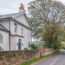
Wood End
1.3 km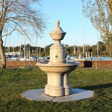
Drinking Fountain
2.9 km
Lloyds Bank
2.9 km
Hill House
2.6 km
Monmouth House (including The Former Office Of The Clerk To The Justices)
2.7 km
Ivy House No 63 And Area Railings Twynham House
2.8 km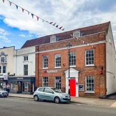
36 And 37, High Street
2.9 km
29, High Street
2.9 km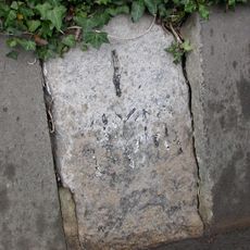
Milestone, Pennington
1.9 km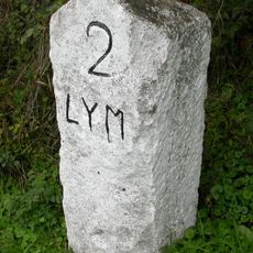
Milestone, Efford Horticultural Research
2.2 kmReviews
Visited this place? Tap the stars to rate it and share your experience / photos with the community! Try now! You can cancel it anytime.
Discover hidden gems everywhere you go!
From secret cafés to breathtaking viewpoints, skip the crowded tourist spots and find places that match your style. Our app makes it easy with voice search, smart filtering, route optimization, and insider tips from travelers worldwide. Download now for the complete mobile experience.

A unique approach to discovering new places❞
— Le Figaro
All the places worth exploring❞
— France Info
A tailor-made excursion in just a few clicks❞
— 20 Minutes