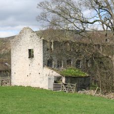
Navio Roman Fort, Roman military site in Hope Valley, England
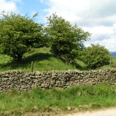
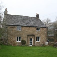
Navio Roman Fort is a Roman military installation in Hope Valley, England, featuring rectangular fortifications, stone walls, and earthwork structures. The remains of a civilian settlement near Bradwell Brook show how the fort functioned as a center that served both military and local populations.
The Romans built the original timber fort in 73 AD under Governor Agricola, then rebuilt and reinforced it in stone around 158 AD with the First Cohort of Aquitanians. These two construction phases show how the Romans gradually strengthened their military control in this region.
The fort's name comes from the Latin word 'Navio', meaning 'on the river', reflecting how the Romans adopted local geographical references when naming their settlements. This connection to the nearby river shaped how soldiers and local communities understood their place in the landscape.
The fort is accessible via a walking path of roughly 4 miles from Hope village, starting from the main pay car park. Allow ample time for the walk and wear suitable footwear, as the terrain can be uneven and muddy.
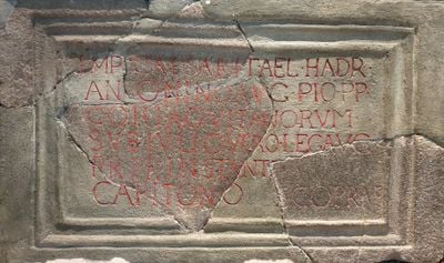
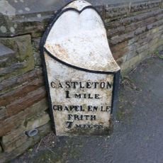
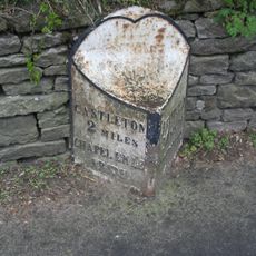
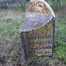
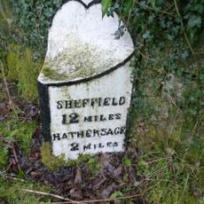
A Roman milestone discovered in Buxton marks a distance of eleven miles from the fort and ranks among the oldest inscribed milestones in Derbyshire. This find reveals how the Romans recorded distances along their road networks to guide travelers and military movement.
The community of curious travelers
AroundUs brings together thousands of curated places, local tips, and hidden gems, enriched daily by 60,000 contributors worldwide.