Farnham Park, Nature reserve and Grade II listed park in Farnham, England
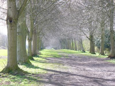
Farnham Park is a 131-hectare reserve with open grassland, sections of oak woodland, and streams that flow through different elevation levels across the landscape. The varied terrain creates distinct areas suited to different activities.
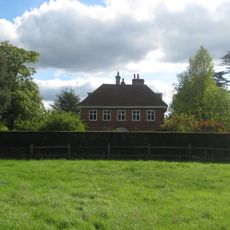
The park began as a medieval deer park established in 1376 by Bishop William Wykeham and was later transformed into a landscape park in the late 1700s. This redesign shaped the grounds visitors explore today.
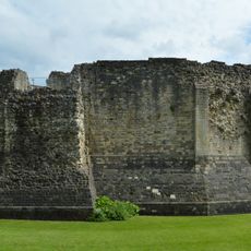
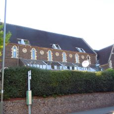
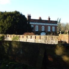
The park maintains a strong connection to Farnham Castle, which rises on a hill in the southwest corner and reflects centuries of church influence on the land. Visitors notice this relationship throughout their walks here.
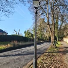
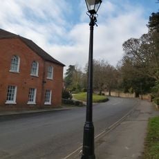
The park has multiple walking paths and sports facilities including a cricket ground and golf course, with parking available at the southern end of Folly Hill. Visitors should wear sturdy shoes as the terrain is hilly and paths can become slippery when wet.
Five water features dot the landscape, including Carron Pond, which was specially designed for floating decoy ducks during historical hunting practices. Today these artificial ponds serve as quiet spots where visitors can watch waterfowl.
The community of curious travelers
AroundUs brings together thousands of curated places, local tips, and hidden gems, enriched daily by 60,000 contributors worldwide.