
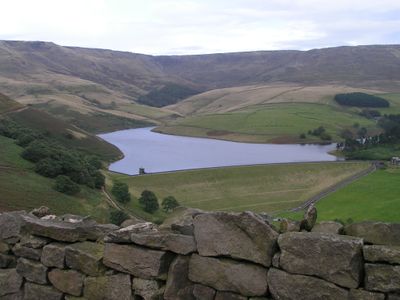
Kinder Reservoir, reservoir in Derbyshire, England, UK
Location: Hayfield
Elevation above the sea: 278 m
GPS coordinates: 53.39047,-1.91518
Latest update: March 3, 2025 11:22
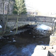
The Bridge
2.4 km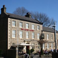
Royal Hotel
2.3 km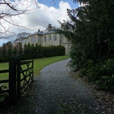
Park Hall
2.1 km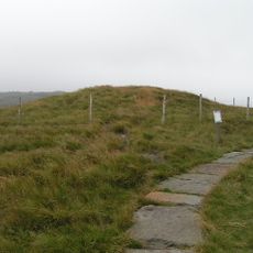
Kinderlow bowl barrow
2.2 km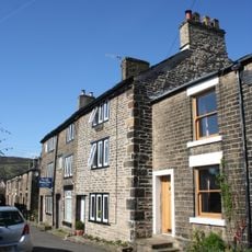
17, 19 and 21, Kinder Road
2.3 km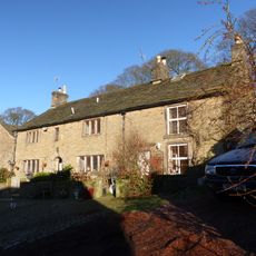
Booth Cottage Booth Farmhouse
691 m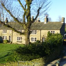
Ashes Farmhouse
1.9 km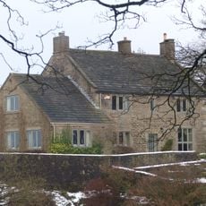
Stubbs
2.3 km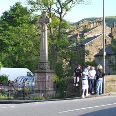
Hayfield War Memorial
2.3 km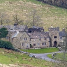
Upper House
590 m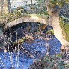
Bowden Bridge
1.4 km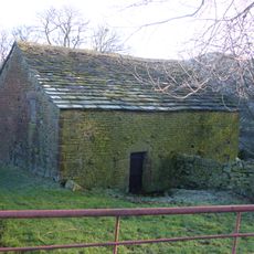
Barn To West Of Coldwell Clough Farmhouse
2.3 km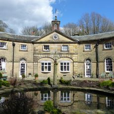
Stable block at Park Hall
1.9 km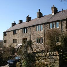
25, 27 and 29, Cote Lane
2.1 km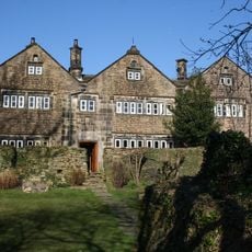
Fox Hall
2.3 km
Hill Houses Farmhouse And Barn
1.3 km
Hill House Cottages And Barn
1.3 km
Hazelhurst Farmhouse
2.3 km
Barn at Ivy Farmhouse
2.3 km
Coldwell Clough Farmhouse And Barn
2.3 km
Tunstead Clough And Garden Walls
1.5 km
Bankend Farmhouse and barn
2.1 km
Stones House Farmhouse
1.8 km
Barn to west of Booth Farmhouse
710 m
Stables To South West Of Booth Farmhouse
720 m
13, Kinder Road
2.3 km
Outbuilding to south west of Coldwell Clough Farmhouse
2.3 km
Fox Hall Barn
2.3 kmReviews
Visited this place? Tap the stars to rate it and share your experience / photos with the community! Try now! You can cancel it anytime.
Discover hidden gems everywhere you go!
From secret cafés to breathtaking viewpoints, skip the crowded tourist spots and find places that match your style. Our app makes it easy with voice search, smart filtering, route optimization, and insider tips from travelers worldwide. Download now for the complete mobile experience.

A unique approach to discovering new places❞
— Le Figaro
All the places worth exploring❞
— France Info
A tailor-made excursion in just a few clicks❞
— 20 Minutes