
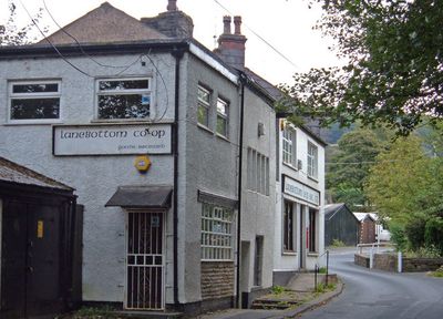
Lanebottom Industrial Equitable Pioneers Society, former co-operative near Higher Ogden, Rochdale, England
Location: Rochdale
Inception: December 19, 1860
GPS coordinates: 53.60510,-2.07480
Latest update: March 3, 2025 02:06

Shaw National Distribution Centre
2.8 km
Piethorne Reservoir
1.4 km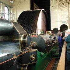
Ellenroad Ring Mill Engine
2.2 km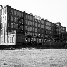
Ellenroad Mill
2.1 km
Rakewood Viaduct
1.8 km
Ogden Reservoir
450 m
Newby Mill, Shaw
2.8 km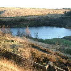
Brushes Clough Reservoir
2.3 km
Church of St. Thomas New Hey
1.4 km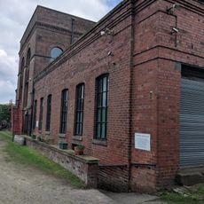
Ellenroad Steam Museum
2.1 km
Church of St James
2.4 km
Milnrow Library
2 km
Denshaw Oddfellows Lodge
2.8 km
Kiln Lane Chippy And Tim Bobbin Public House
2.6 km
Milnrow War Memorial
1.8 km
37, Huddersfield Road
3 km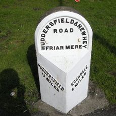
Milestone, ExYW Denshaw
2.5 km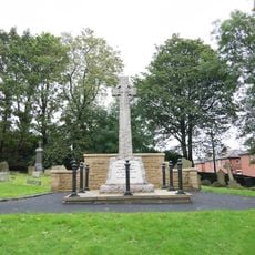
Sundial In Graveyard, South Of St James Church
2.4 km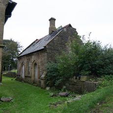
Former Meeting Room Adjacent To Chancel Of St James Church
2.4 km
Ellenroad Ring Mill
2.2 km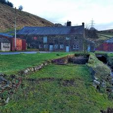
Booth Hollings Mill
1.9 km
Shore Family Chest Tomb In Graveyard Of St James Church
2.4 km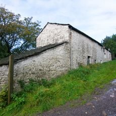
Bradley's Farmhouse
1.3 km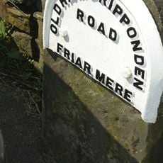
Milestone, ExYW Old Tame
3 km
Norman Hill Reservoir
2 km
Rooden Reservoir
2 km
Kitcliffe Reservoir
978 m
Hanging Lees Reservoir
1.8 kmVisited this place? Tap the stars to rate it and share your experience / photos with the community! Try now! You can cancel it anytime.
Discover hidden gems everywhere you go!
From secret cafés to breathtaking viewpoints, skip the crowded tourist spots and find places that match your style. Our app makes it easy with voice search, smart filtering, route optimization, and insider tips from travelers worldwide. Download now for the complete mobile experience.

A unique approach to discovering new places❞
— Le Figaro
All the places worth exploring❞
— France Info
A tailor-made excursion in just a few clicks❞
— 20 Minutes