
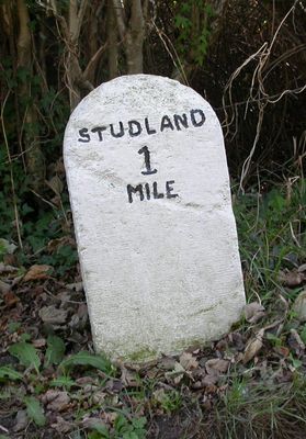
Milestone, minor road from B3351 to Swanage; 300M W of junction with B3351, milestone in Studland, Purbeck, UK
Location: Purbeck
Inception: 19 century
GPS coordinates: 50.63551,-1.96972
Latest update: April 3, 2025 03:57
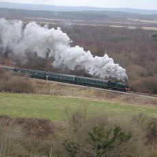
Swanage Railway
2.6 km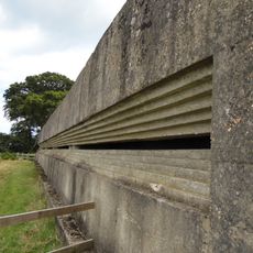
Fort Henry
1.9 km
Rempstone Stone Circle
2.8 km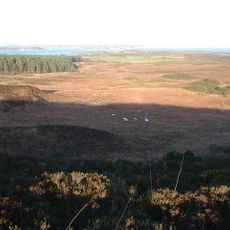
Studland and Godlingston Heath National Nature Reserve
2.3 km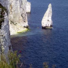
The Pinnacles
3 km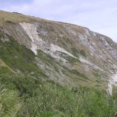
Ballard Cliff
2.3 km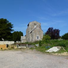
Parish Church of Saint Nicholas, Studland
1.6 km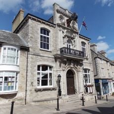
The Town Hall
3.1 km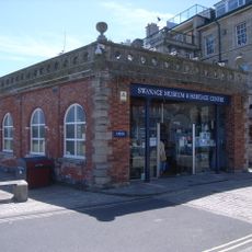
Swanage Museum & Heritage Centre
3.2 km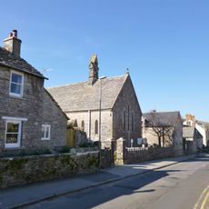
St Mark's Church
3 km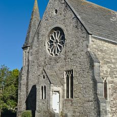
Parish Church
3 km
The Anchor Inn
3.2 km
King Alfred Memorial
3 km
Purbeck House (Convent Of Our Lady Of Mercy)
3.1 km
Swanage Museum
3.2 km
The Mowlem
3.1 km
Swanage Library
3.1 km
Gun Emplacement And Fort Henry
1.9 km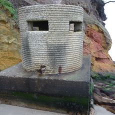
Pillbox Below Redend Point
1.9 km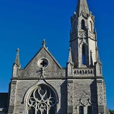
The Methodist Church And Hall Immediately East And Boundary Walls To West And North
3.1 km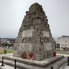
Swanage War Memorial
2.8 km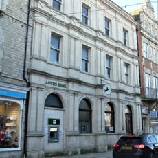
Lloyds Bank
3.2 km
2 And 3, Watery Lane
1.8 km
15-21 Kings Road East
3 km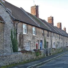
Eldon Terrace Including Garden Area Walls And No.13 Kings Road East
3 km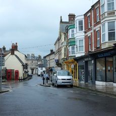
Two K6 Telephone Boxes Outside Library
3.1 km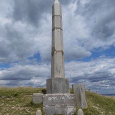
The Obelisk On North Hill
446 m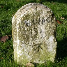
Milestone, jct of B3351 and road to beach car parks
1.4 kmReviews
Visited this place? Tap the stars to rate it and share your experience / photos with the community! Try now! You can cancel it anytime.
Discover hidden gems everywhere you go!
From secret cafés to breathtaking viewpoints, skip the crowded tourist spots and find places that match your style. Our app makes it easy with voice search, smart filtering, route optimization, and insider tips from travelers worldwide. Download now for the complete mobile experience.

A unique approach to discovering new places❞
— Le Figaro
All the places worth exploring❞
— France Info
A tailor-made excursion in just a few clicks❞
— 20 Minutes