Studland and Godlingston Heath National Nature Reserve, National nature reserve in Dorset, England.
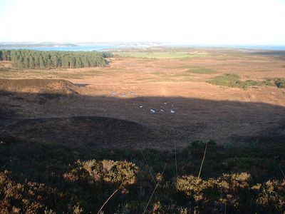
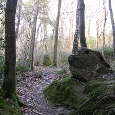
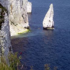
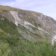
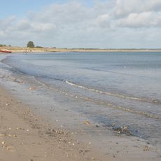
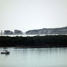
Studland and Godlingston Heath National Nature Reserve is a protected area in Dorset featuring lowland heath, sand dunes, peat bogs, freshwater lagoons, and a long sandy beach along the coast. The different habitats shift throughout the site, creating a varied landscape where you can move between dry sandy areas, wet boggy ground, and grassy open spaces.
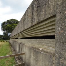
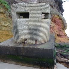
The area was used as a training ground for invasion troops and as a bombing range by the Royal Air Force during World War II. This military use left its mark on the land and shaped how the site developed after the war ended.
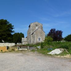
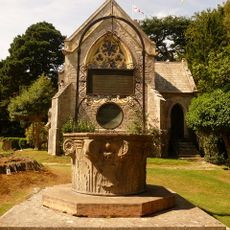
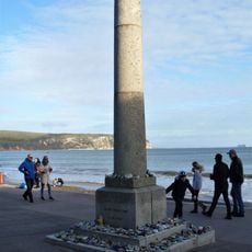
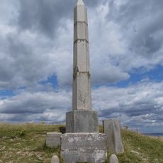
The reserve contains multiple prehistoric remains and an ancient standing stone formation known as Agglestone Rock, indicating early human settlements in the region.
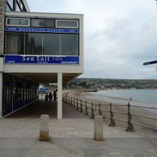
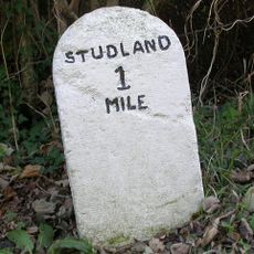
The reserve is accessible by Sandbanks Ferry or by taking roads A351 and B3351 from Wareham, with regular bus services connecting to the area. Wear sturdy shoes and be ready for changing ground conditions as you walk across sand, muddy patches, and grassy areas.
The reserve is one of the few places in Britain where all six native reptile species live together, including the sand lizard and smooth snake. This mix of reptiles makes the site a rare refuge for creatures that are hard to find elsewhere.
The community of curious travelers
AroundUs brings together thousands of curated places, local tips, and hidden gems, enriched daily by 60,000 contributors worldwide.