
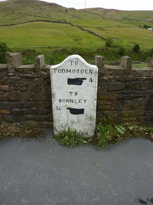
Milestone, Burnley Road; as road goes over railway, SE of bend, milestone in Cliviger, Burnley, UK
Location: Burnley
Inception: 19 century
GPS coordinates: 53.74106,-2.17150
Latest update: March 4, 2025 12:39
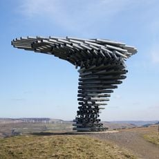
Singing Ringing Tree
4.1 km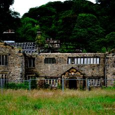
Holme Hall, Cliviger
1.5 km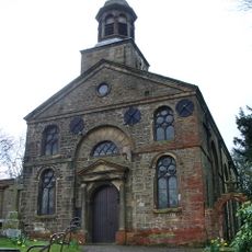
Church of St John the Divine, Holme Chapel
1.8 km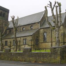
Christ Church, Bacup
4.1 km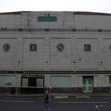
Regal Cinema
2.6 km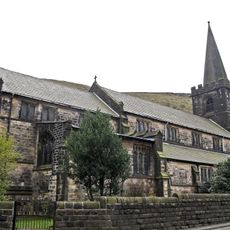
Church of St Michael and All Angels
2.5 km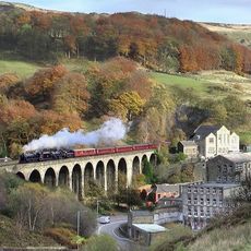
Lydgate Viaduct
3.6 km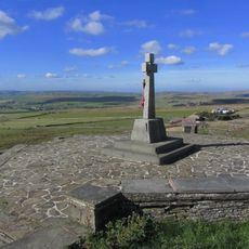
Weir and District War Memorial
2.6 km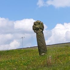
Wayside cross known as Mount Cross
2.7 km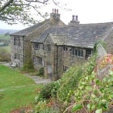
Hartley Royd Farmhouse
3.1 km
The Sourhall
3.9 km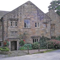
Hurstwood Hall
4.2 km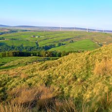
Thieveley lead mine 330m south west and 910m WSW of Buckleys
1.7 km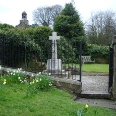
Cliviger War Memorial
1.8 km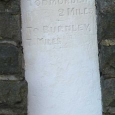
Milestone To North Of Number 606 (Black Rock) At Ngr Sd 914260
2.9 km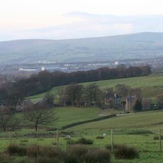
Barcroft Hall With Attached Garden Wall And Entrance Gateway At Sd865304
3.9 km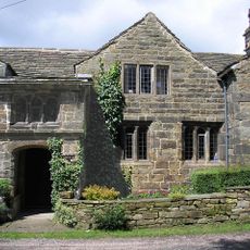
Spenser House
4.2 km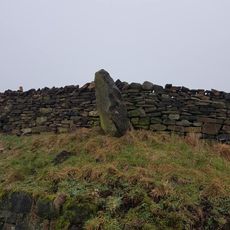
Stump Cross On North Side Of Road At Sd 878300
3 km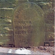
Milestone At The Corner Of Dog Pits Lane
3.3 km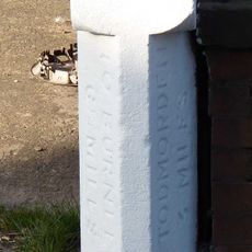
Milestone To Front Of Number 927 At Ngr Sd 899261
1.5 km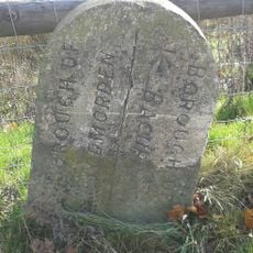
Boundary stone on south side of road opposite Tollhouse
2.6 km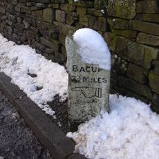
Milestone Next To Owler Mill At Ngr Sd 915237
4.1 km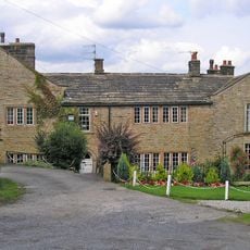
Fir Trees Foxstones Cottage Foxstones Farmhouse
3.9 km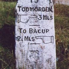
Milestone At Ngr Sd 896239
3.4 km
Milestone, Sager Fold
4.1 km
Milestone, above Easden Clough, by Ford Stone Quarry
3.1 km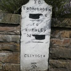
Milestone, Red Lees Road; Southward Bottom
3 km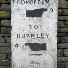
Milestone, Burnley Road; just SE of Holme Chapel
1.6 kmReviews
Visited this place? Tap the stars to rate it and share your experience / photos with the community! Try now! You can cancel it anytime.
Discover hidden gems everywhere you go!
From secret cafés to breathtaking viewpoints, skip the crowded tourist spots and find places that match your style. Our app makes it easy with voice search, smart filtering, route optimization, and insider tips from travelers worldwide. Download now for the complete mobile experience.

A unique approach to discovering new places❞
— Le Figaro
All the places worth exploring❞
— France Info
A tailor-made excursion in just a few clicks❞
— 20 Minutes