
Milestone, E of Queach Farm, milestone in Pakenham, St Edmundsbury, UK
Location: St Edmundsbury
Inception: 19 century
GPS coordinates: 52.28484,0.81216
Latest update: March 5, 2025 06:44


Pakenham Windmill
1.4 km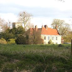
Ixworth Abbey
1.9 km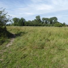
Pakenham Meadows
1.5 km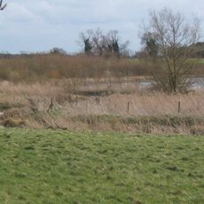
Mickle Mere
1.9 km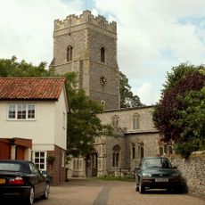
Church of St Mary, Ixworth
1.9 km
Warrens General Store
1.9 km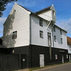
Pakenham Water Mill
1.9 km
Ixworth Priory
1.8 km
Priory Lodge And Outbuildings
1.7 km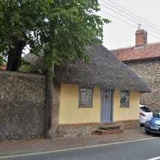
Cosycot
1.6 km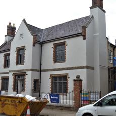
The Robert Peel Guest House
1.9 km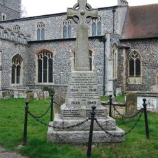
Ixworth War Memorial
1.9 km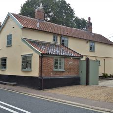
The Old Woolpack Public House
1.6 km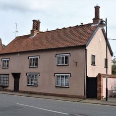
10, High Street
1.9 km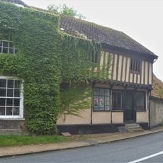
Office And Two Outbuildings Adjoining Cyder House
1.8 km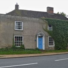
The Cyder House
1.8 km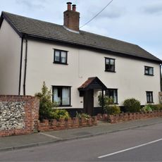
The Blooms
1.9 km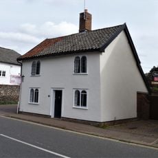
24, High Street
1.9 km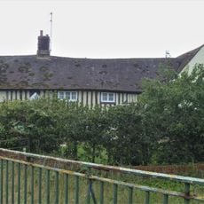
Bridge Farmhouse
1.7 km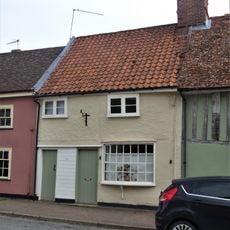
16, High Street
1.9 km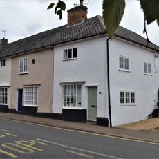
26-30, High Street
1.9 km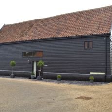
Barn South East To Dover House
1.8 km
1-2, Stow Road
1.9 km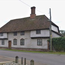
Dover House And Garden Wall Adjoining On West
1.8 km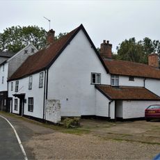
Watermill Farmhouse
1.8 km
14, High Street
1.9 km
20 And 22, High Street
1.9 km
Priory Farmhouse
1.6 kmReviews
Visited this place? Tap the stars to rate it and share your experience / photos with the community! Try now! You can cancel it anytime.
Discover hidden gems everywhere you go!
From secret cafés to breathtaking viewpoints, skip the crowded tourist spots and find places that match your style. Our app makes it easy with voice search, smart filtering, route optimization, and insider tips from travelers worldwide. Download now for the complete mobile experience.

A unique approach to discovering new places❞
— Le Figaro
All the places worth exploring❞
— France Info
A tailor-made excursion in just a few clicks❞
— 20 Minutes