
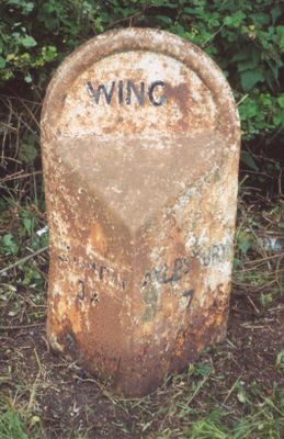
Milepost, Aylesbury Road; on hill, 150m SW of mini-roundabout for school, milepost in Wing, Aylesbury Vale, UK
Location: Aylesbury Vale
Inception: 20 century
GPS coordinates: 51.88955,-0.72474
Latest update: March 3, 2025 13:36

Mentmore Towers
3.3 km
Ascott House
1.4 km
The Abbey, Aston Abbotts
3.9 km
Church of All Saints, Leighton Buzzard
5 km
Mentmore Golf and Country Club
3.5 km
All Saints' Church, Wing
611 m
Warren Farm, Stewkley
3.5 km
Church of St Barnabas
4.5 km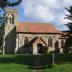
Church of St Nicholas
4 km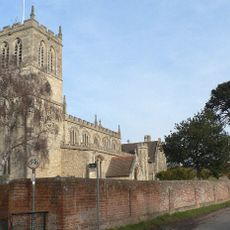
Church of St Peter and St Paul
3.1 km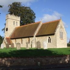
Church of St James
3.6 km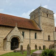
Church of St Michael
4.9 km
Church of Saint Mary
3.4 km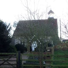
Old Church House
4.3 km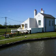
Church Lock Cottage And Wall Attached To South East Corner
4.3 km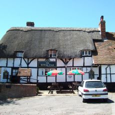
The Royal Oak Inn
3.5 km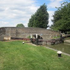
Bridge 116
4.3 km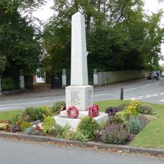
Stewkley War Memorial
4.8 km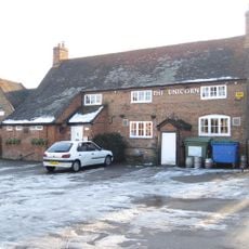
The Unicorn
3.9 km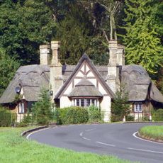
Cheddington Lodge
4.3 km
Gates, Gate Piers And Railings To East Of Stone Lodge
3.5 km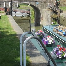
Lock Number 29 Grand Union Canal
4.3 km
Bedford Arms Public House
4.8 km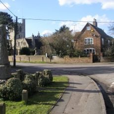
Wingrave War Memorial
3.1 km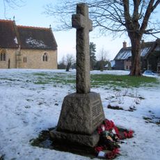
Aston Abbotts War Memorial
3.6 km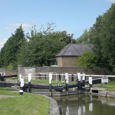
Pumping Station And Attached Walls
4.3 km
Canal House Grand Union House
4.8 kmReviews
Visited this place? Tap the stars to rate it and share your experience / photos with the community! Try now! You can cancel it anytime.
Discover hidden gems everywhere you go!
From secret cafés to breathtaking viewpoints, skip the crowded tourist spots and find places that match your style. Our app makes it easy with voice search, smart filtering, route optimization, and insider tips from travelers worldwide. Download now for the complete mobile experience.

A unique approach to discovering new places❞
— Le Figaro
All the places worth exploring❞
— France Info
A tailor-made excursion in just a few clicks❞
— 20 Minutes