
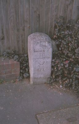
Milestone, Uxbridge Road, Pinner Green, by lay-by, milestone in Pinner, Harrow, UK
Location: London Borough of Harrow
Inception: 19 century
GPS coordinates: 51.60050,-0.39008
Latest update: March 9, 2025 17:39
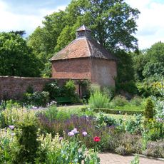
Eastcote House Gardens
1.8 km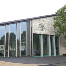
Heath Robinson Museum
920 m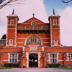
Harrow Arts Centre
2 km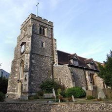
Church of St John the Baptist
1 km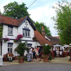
Case is Altered
1.6 km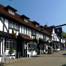
Queen's Head
941 m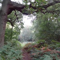
Oxhey Woods
1.9 km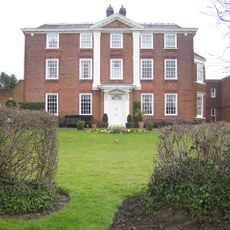
Pinner House
1.1 km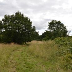
Prestwick Road Meadows
1.9 km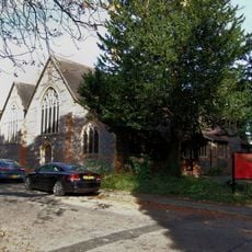
St Anselm's Church
1.7 km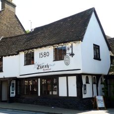
The Victory Public House
943 m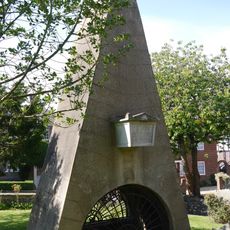
Monument To William And Agnes Loudon, In Churchyard To Church Of St John The Baptist On South Side
1 km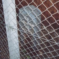
Mile Post To West Of Junction With George V Avenue
2 km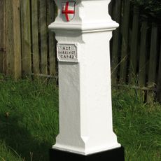
London Coal Duty Marker On County Boundary Where Road Meets Potter Street Hill
1.7 km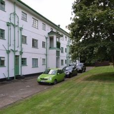
Pinner Court
1.9 km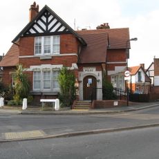
Pinner Police Station Including Stable Block, Boundary Wall, Gate Pier And Fences, Bollards And Police Lamps
629 m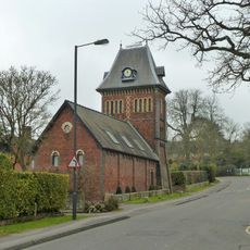
Tooke's Folly At Pinner Hill Farm
738 m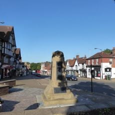
Pinner War Memorial
980 m
Elm Park Court, And Entrance Arch
365 m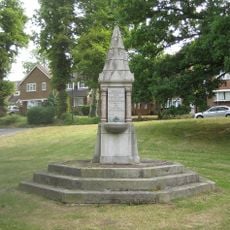
Drinking Fountain At Junction With Moss Lane
1.3 km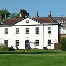
Pinner Hill Golf Club House, And Boundary Wall Extending Northwards From Club House
1.4 km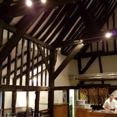
34, 34A, 36, High Street
966 m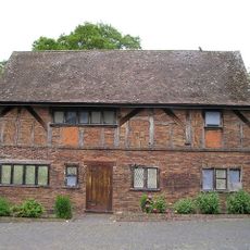
The Old Coach House
1.7 km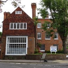
Haywood House
990 m
3, Waxwell Lane
605 m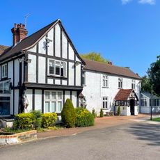
Field End Lodge
2.1 km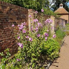
Garden Walls To East Of The Old Coach House
1.7 km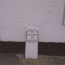
Milestone Outside The Oddfellows Arms Public House
663 mReviews
Visited this place? Tap the stars to rate it and share your experience / photos with the community! Try now! You can cancel it anytime.
Discover hidden gems everywhere you go!
From secret cafés to breathtaking viewpoints, skip the crowded tourist spots and find places that match your style. Our app makes it easy with voice search, smart filtering, route optimization, and insider tips from travelers worldwide. Download now for the complete mobile experience.

A unique approach to discovering new places❞
— Le Figaro
All the places worth exploring❞
— France Info
A tailor-made excursion in just a few clicks❞
— 20 Minutes