London Borough of Harrow, Administrative borough in northwest London, England
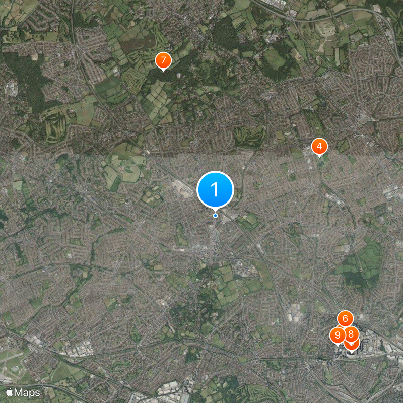
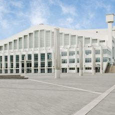
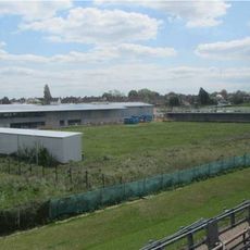
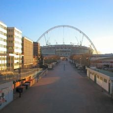
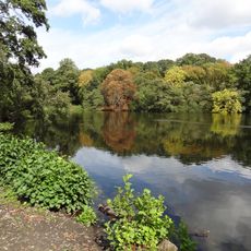
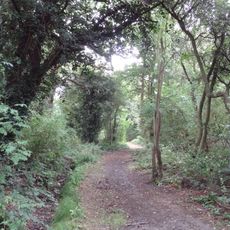
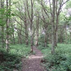
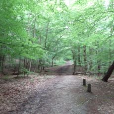
This borough covers several towns such as Harrow, Pinner and Stanmore and stretches across a large part of northwest Greater London. The total area measures around 50 square kilometers (19 square miles) and connects suburban residential zones with open green spaces and local shopping streets.
The area moved from the county of Middlesex to Greater London in 1965 and adopted the boundaries set by the administrative reform of 1934. This change turned a local government district into a full London borough with its own council.
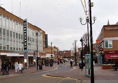
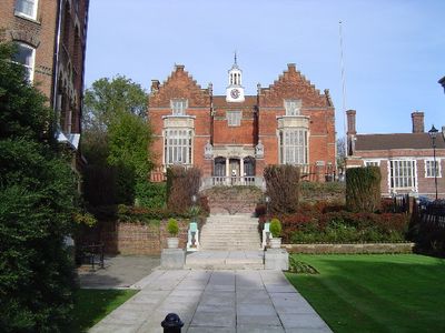
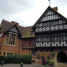
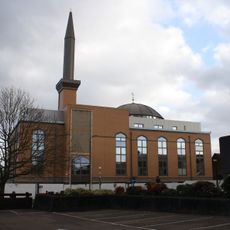
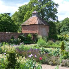
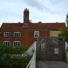
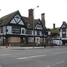
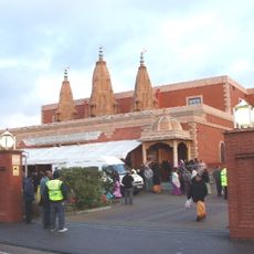
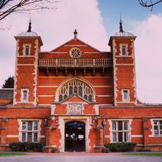
The name comes from Old English words meaning a holy place, pointing to early religious sites in the area. Many streets today show a mix of Victorian houses and modern shopping parades used daily by families of different backgrounds.
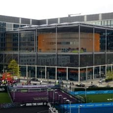
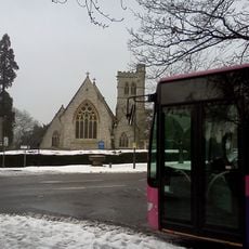
Anyone exploring the different towns should expect to use public transport or a car, as the distances between centers run into several kilometers. Most services and shops sit along main roads in each town, where bus stops and parking options are also found.
This is the only London borough whose boundaries remained unchanged since incorporation in 1965 and were taken directly from an older district in Middlesex. This continuity makes it a special case in the administrative history of the capital.
The community of curious travelers
AroundUs brings together thousands of curated places, local tips, and hidden gems, enriched daily by 60,000 contributors worldwide.