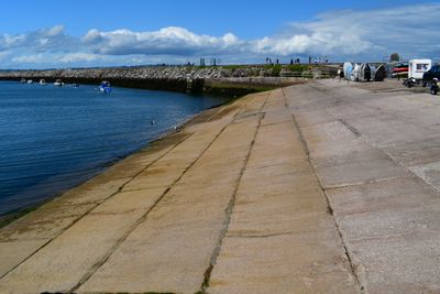
Brixham Breakwater, Sea defense structure in Brixham, United Kingdom.
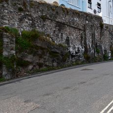
Brixham Breakwater is a harbor protection structure made from granite blocks that extends into Tor Bay to shield vessels from strong tidal currents and severe weather. The walkway along the structure offers views of the harbor and the boats that use it throughout the day.
Construction of the breakwater took place in the late 1800s and allowed the harbor to support fishing operations year-round by reducing the impact of rough seas. This engineering work transformed Brixham into a major fishing port for the region.
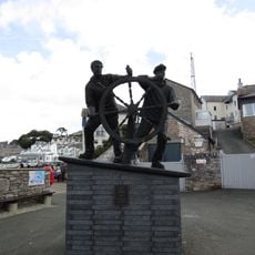
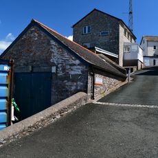
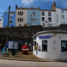
The structure is closely tied to Brixham's fishing community and serves as a gathering point where visitors can observe the working harbor and the rhythm of commercial fishing operations. People use it to connect with the town's maritime character and watch boats moving in and out with the tides.
The breakwater is easily reached on foot from the town center, with parking available nearby and a clear path for walking. Low tide offers the best views and safest conditions for exploring, as more of the structure becomes exposed and the surface is more stable.
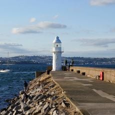
The adjacent beach holds Blue Flag status, indicating excellent water quality that supports seahorse populations and seagrass beds. This combination makes it a notable spot for wildlife observation alongside the working harbor.
GPS coordinates: 50.40270,-3.50830
Latest update: December 14, 2025 16:45
British Seaman’s Boys' Home
494 m
Man and Boy
642 m
The Maritime Inn
689 m
Sprat And Mackerel Public House
664 m
Brixham Breakwater light
456 m
Crown And Anchor Public House
670 m
12, 14 And 16, Ranscombe Road
703 m
Nos 18 And 20 Including Gate Piers On Street
709 m
Brixham War Memorial
459 m
Retaining Wall To Path Fronting Custom House Retaining Wall To Path Fronting Kelvin Court Retaining Wall To Path Fronting Nos 11-17 Overgang
616 m
Ranscombe Court (Terrace) Including Wall Along Ranscombe Road
685 m
Duke Of Clarence Tablet On New Pier
578 m
No 12 Including Front Area Wall And Railing
673 m
Gateway To Wolborough House
484 m
1, 2 And 3, Heath Road
690 m
Torfrey, Including Front Garden Walls And Railing
665 m
Coastguard Station
662 m
11-14, Overgang
632 m
K6 Telephone Kiosk At North West End Of Eastern Quay
659 m
Kings House
714 m
Slipway And Hard, Brixham Outer Harbour
397 m
Wolborough House
522 m
Waterloo House Including Front And Side Garden Walls, Railings And Gate Piers
680 m
Nos 83 And 85 Including Front Area Walls, Railings And Gate
676 m
The Old Custom House
636 m
27 And 27A, The Quay
645 m
33, Overgang
686 m
75 And 77, King Street
698 mVisited this place? Tap the stars to rate it and share your experience / photos with the community! Try now! You can cancel it anytime.
Discover hidden gems everywhere you go!
From secret cafés to breathtaking viewpoints, skip the crowded tourist spots and find places that match your style. Our app makes it easy with voice search, smart filtering, route optimization, and insider tips from travelers worldwide. Download now for the complete mobile experience.
A unique approach to discovering new places❞
— Le Figaro
All the places worth exploring❞
— France Info
A tailor-made excursion in just a few clicks❞
— 20 Minutes