
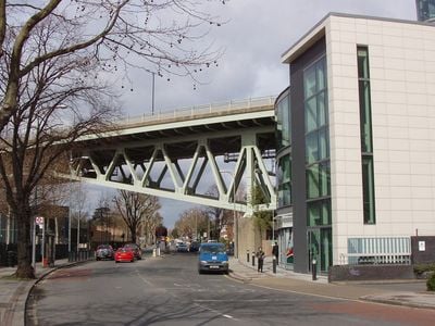
Boston Manor viaduct, elevated roadway in west London
Location: London Borough of Hounslow
Official opening: March 24, 1965
Part of: M4 elevated section
GPS coordinates: 51.48929,-0.31543
Latest update: March 3, 2025 06:19
Boston Manor
356 m
Boston Manor Park
369 m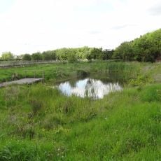
Blondin Park
739 m
Brentford Baths
660 m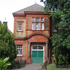
Brentford Library
624 m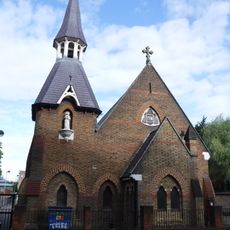
Roman Catholic Church of St John the Evangelist
257 m
Rochester House (Main Block) At Lourdes Mount Convent High School
902 m
Place House St Anne's Convent School
819 m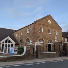
Congregational Church
697 m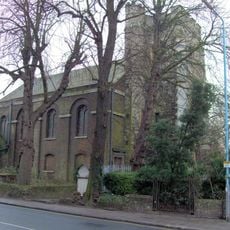
Church of St Lawrence, Brentford
849 m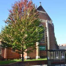
Church of St Faith
359 m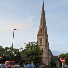
St Paul's Church
811 m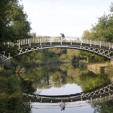
Gallows Bridge (Over Brentford Canal), Grand Union Canal
790 m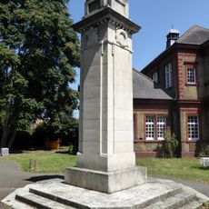
Brentford War Memorial
599 m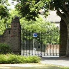
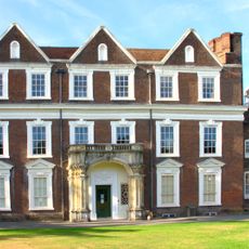
Garden Wall, 2 Sets Of Iron Gates Gateposts To Boston Manor House
327 m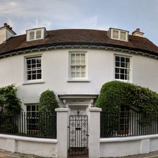
The Cedars
559 m
991, Great West Road
440 m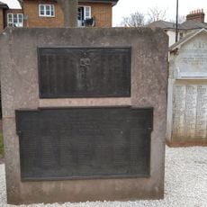
Brentford Gas Light and Coke Company WWI Memorial
596 m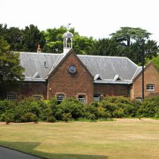
Stables of Boston Manor House
406 m
Westlink House
593 m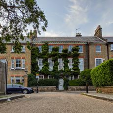
17, Somerset Road
572 m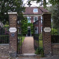
Beaufort House Chatam House
654 m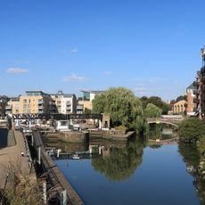
Toll House At Brentford Lock
743 m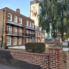
73 And 75, Boston Manor Road
68 m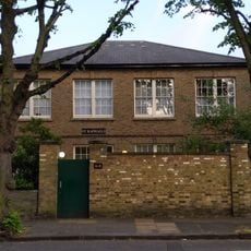
St Raphaels Convent
711 m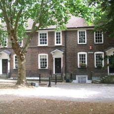
24, The Butts
702 m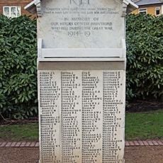
West Brentford Stone of Remembrance
596 m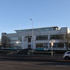
Part Of Former Coty Factory Premises Situated About 50 Metres South East Of The Junction With Harlequin Avenue
873 mVisited this place? Tap the stars to rate it and share your experience / photos with the community! Try now! You can cancel it anytime.
Discover hidden gems everywhere you go!
From secret cafés to breathtaking viewpoints, skip the crowded tourist spots and find places that match your style. Our app makes it easy with voice search, smart filtering, route optimization, and insider tips from travelers worldwide. Download now for the complete mobile experience.

A unique approach to discovering new places❞
— Le Figaro
All the places worth exploring❞
— France Info
A tailor-made excursion in just a few clicks❞
— 20 Minutes