
Dancersend Nature Reserve, nature reserve in the United Kingdom
Location: England
Operator: Berkshire, Buckinghamshire and Oxfordshire Wildlife Trust (BBOWT)
Website: https://bbowt.org.uk/reserves/Dancersend
GPS coordinates: 51.77485,-0.70025
Latest update: March 4, 2025 07:48

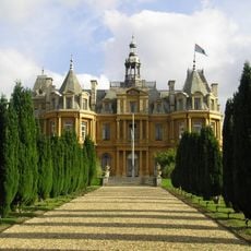
Halton House
1.9 km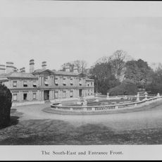
Aston Clinton House
2.5 km
Natural History Museum at Tring
3.2 km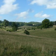
Tring Park
3.2 km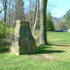
Wendover Woods
853 m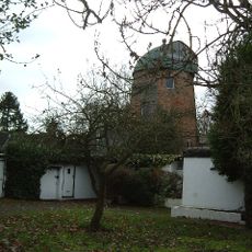
Goldfield Mill
3 km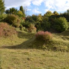
Aston Clinton Ragpits
1.8 km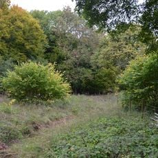
Dancersend
334 m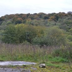
Dancersend Waterworks
901 m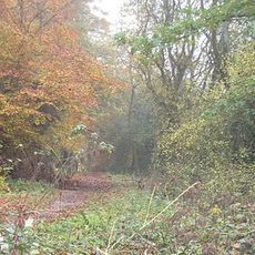
Tring Woodlands
2.1 km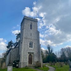
Church of St Michael and All Angels
2.5 km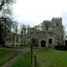
Church of St Mary the Virgin, Drayton Beauchamp
2.6 km
Church of St Martha (Anglian Methodist)
2.8 km
The Walter Rothschild building
3.2 km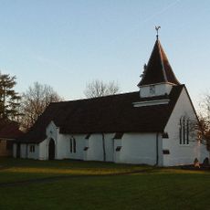
Church of St Leonard
2.5 km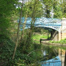
Bridge Over Canal In Grounds Of Halton House
2.5 km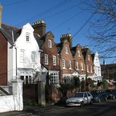
1-6, Park Road
3.1 km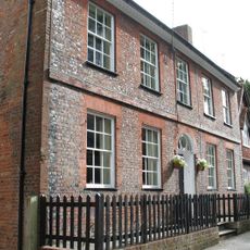
4, Park Street
3.3 km
The Kings Arms Public House
3 km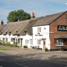
The Pack Horse Public House
3 km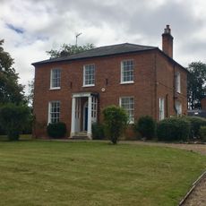
Ardenoak House
3.2 km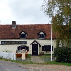
White Lion Public House
3.1 km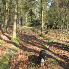
Boddington Camp: a slight univallate hillfort on the summit of Boddington Hill
2 km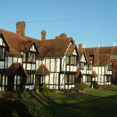
Louisa Cottages On Corner Of Akeman Street
3.2 km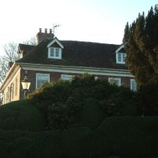
Dancers End House
973 m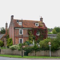
Bank Farmhouse
3 km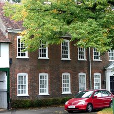
The Red House
3.1 km
60, Akeman Street
3.2 kmReviews
Visited this place? Tap the stars to rate it and share your experience / photos with the community! Try now! You can cancel it anytime.
Discover hidden gems everywhere you go!
From secret cafés to breathtaking viewpoints, skip the crowded tourist spots and find places that match your style. Our app makes it easy with voice search, smart filtering, route optimization, and insider tips from travelers worldwide. Download now for the complete mobile experience.

A unique approach to discovering new places❞
— Le Figaro
All the places worth exploring❞
— France Info
A tailor-made excursion in just a few clicks❞
— 20 Minutes