
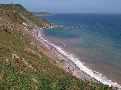
Long Sands, beach in Devon, England
Location: Kingswear
Elevation above the sea: 0 m
GPS coordinates: 50.36206,-3.51952
Latest update: March 3, 2025 00:07
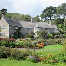
Coleton Fishacre
2 km
Lupton, Brixham
3.1 km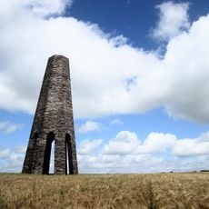
Kingswear Daymark
2.7 km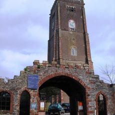
Church of St Mary the Virgin
2.7 km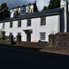
Nos 24 And 26 Church House Including Front Garden Wall
3.5 km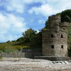
The Mill At Mill Bay Cove
3.4 km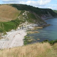
Scabbacombe Sands
556 m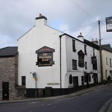
Watermans Arms Public House
2.7 km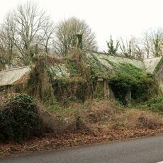
Kennels To Lupton House
2.9 km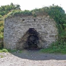
Limekiln Approximately 70 Metres North Of Coastguard Cottages
954 m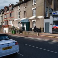
Nos 62 And 64 Including Front Area Railings
3.3 km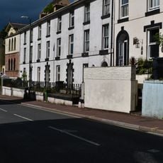
Nos 36-42 Including Front Area Railings
3.4 km
Gatehouse And Gates Approximately 20 Metres West North West Of Church Of St Mary The Virgin
2.7 km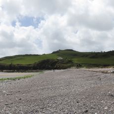
Man Sands
1 km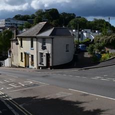
Rea Barn House
3.1 km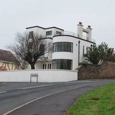
Sunpark
2.8 km
Tollgate House
3.1 km
Hill House Nursing Home Including Front Wall And Gate Piers
2.9 km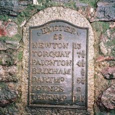
Milepost Plaque At Sx 913 554
3.1 km
Thor House
3.5 km
47, Milton Street
2.5 km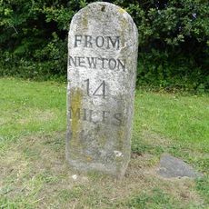
Milestone Approximately 440 Metres South West Of Pennhill
2 km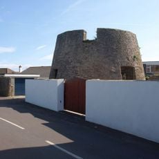
Base Of Windmill Approximately 7 Metres East Of No 25
3.4 km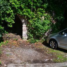
2 Lime Kilns At Sx 9247 5562 Approximately 20 Metres South Of Junction With Windmill Hill
3.2 km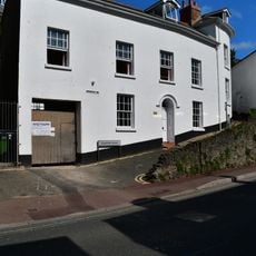
2 And 4, Cavern Road
3.5 km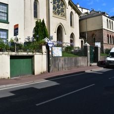
United Reformed Church, Including Schoolrooms, Front Wall and Gates
3.4 km
Drake House Including Front Area Railings And Shoescraper
3.4 km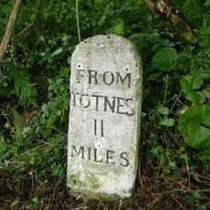
Milestone, 150m S of entrance to Hoodown Farm
3 kmReviews
Visited this place? Tap the stars to rate it and share your experience / photos with the community! Try now! You can cancel it anytime.
Discover hidden gems everywhere you go!
From secret cafés to breathtaking viewpoints, skip the crowded tourist spots and find places that match your style. Our app makes it easy with voice search, smart filtering, route optimization, and insider tips from travelers worldwide. Download now for the complete mobile experience.

A unique approach to discovering new places❞
— Le Figaro
All the places worth exploring❞
— France Info
A tailor-made excursion in just a few clicks❞
— 20 Minutes