
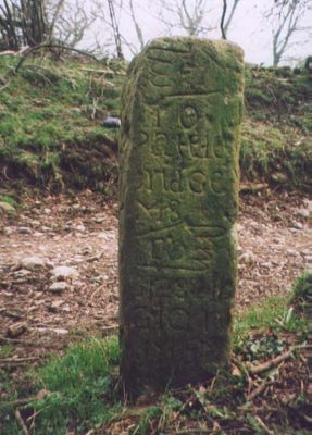
Milestone, in village on Sandybed Lane behind church northwards, milestone in Appletreewick, Craven, UK
Location: Craven
Inception: 18 century
GPS coordinates: 54.04000,-1.91751
Latest update: March 3, 2025 01:08
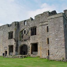
Barden Tower
3.3 km
Parcevall Hall
1.6 km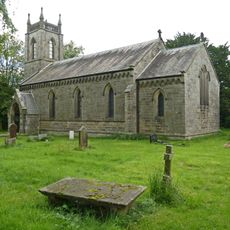
Church of St Peter
3.8 km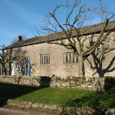
Church of St John the Baptist
335 m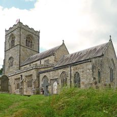
Church of St Wilfred
2.5 km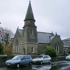
Methodist Chapel
2.4 km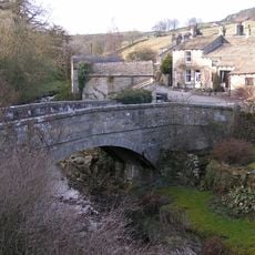
Old Bridge
4 km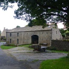
Manor House Barn and approach bridge
4.4 km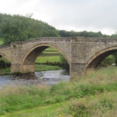
Barden Bridge
3.1 km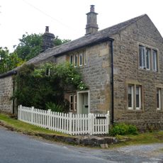
The Old Post Office
384 m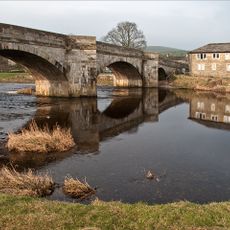
Burnsall Bridge
2.3 km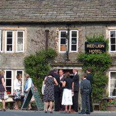
Red Lion Hotel
2.4 km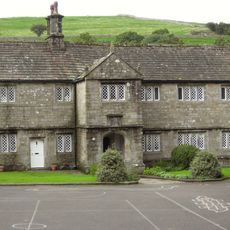
The Old Grammar School
2.5 km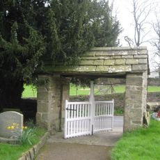
Lych Gate Approximately 30 Metres To West Of Church Of St Wilfred
2.5 km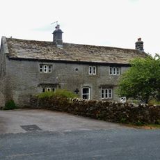
Prospect House
369 m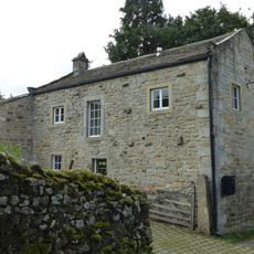
Outbuilding opposite Manor House
4.4 km
Ridge End House
1.5 km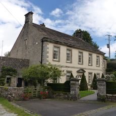
Manor house with wall and gate piers
4.4 km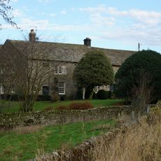
Holes Beck Farmhouse And Attached Barn
2.8 km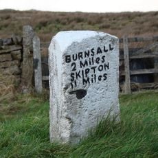
Mile Post At Junction Of B 6265 And Hartlington Raikes Road
2.9 km
Glaholm
385 m
Rock with 30 to 40 cup marks and some groove marks in the wall at the west side of Black Hill Road, 610m ESE of New Dam, Skyreho
2.9 km
High Hall
361 m
Laburnam Farmhouse
323 m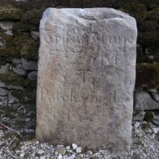
Milestone, Tinker Lane, Hebden on pre turnpike route
4.2 km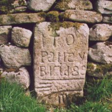
Milestone, Howgill N of Bardon Bridge
1.4 km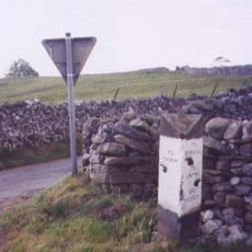
Guidestone, Kail Lane, by drystone wall
4.1 km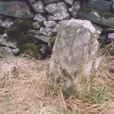
Milestone, Fancarl Top, W of steep drop to Diggles Bridge
2.6 kmVisited this place? Tap the stars to rate it and share your experience / photos with the community! Try now! You can cancel it anytime.
Discover hidden gems everywhere you go!
From secret cafés to breathtaking viewpoints, skip the crowded tourist spots and find places that match your style. Our app makes it easy with voice search, smart filtering, route optimization, and insider tips from travelers worldwide. Download now for the complete mobile experience.

A unique approach to discovering new places❞
— Le Figaro
All the places worth exploring❞
— France Info
A tailor-made excursion in just a few clicks❞
— 20 Minutes