
Ganagobie Plateau
Location: Ganagobie
Accessibility: Wheelchair accessible
GPS coordinates: 43.99936,5.91028
Latest update: October 24, 2025 17:38

Ganagobie Abbey
252 m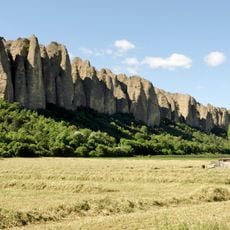
Les Pénitents
6.8 km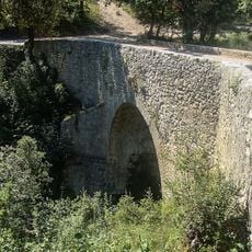
Roman Bridge of Lurs
1.7 km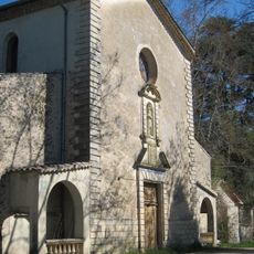
Chapel of Notre Dame des Anges
6.8 km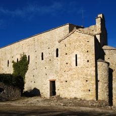
Église Saint-Donat de Montfort
7 km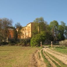
Château de Bel Air de Sigonce
6 km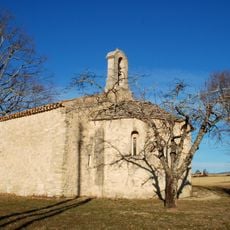
Chapelle Saint-Pierre de Pierrerue
7.8 km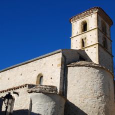
Église Saint-Jean-Baptiste de Mallefougasse
7.5 km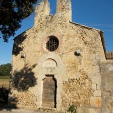
Chapelle Saint-Honorat des Mées
3.8 km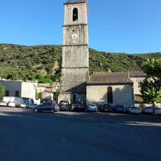
Église Notre-Dame-de-l'Olivier
6.2 km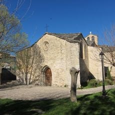
Église Saint-Claude de Sigonce
5.6 km
Hôtel de Crose
6.2 km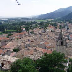
Église Saint-Roch de Peyruis
3.8 km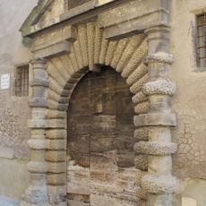
Portail Saint-Félix
6.2 km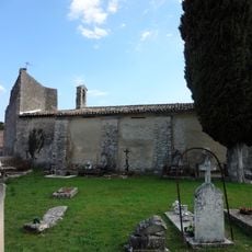
Chapelle Saint-Roch de Peyruis
3.5 km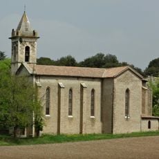
Église des Petits Camps des Mées
3.7 km
Extérieur du Prieuré de Ganagobie
211 m
Église Saint-Jacques-et-Saint-Christophe de Montlaux
7.4 km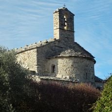
Église Saint-André de Revest-Saint-Martin
7.7 km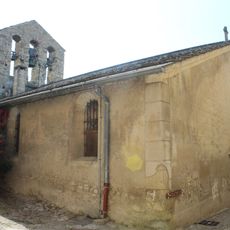
Église de l'Invention-de-la-Croix de Lurs
3.8 km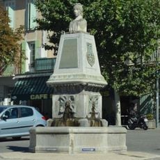
Monument to the 1851 Insurgency
6.2 km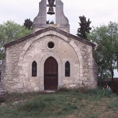
Chapelle Saint-Michel de Lurs
4.2 km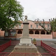
Monument to Louis Pasteur
6.3 km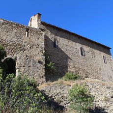
Chapelle Saint-Roch des Mées
6.4 km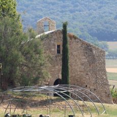
Chapelle Saint-Martin de Lurs
4.1 km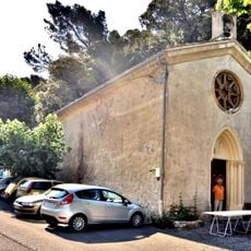
Chapelle Notre-Dame de la Salette des Mées
6.4 km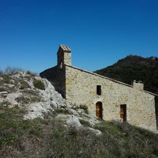
Chapelle Saint-Nicolas d'Augès
4.9 km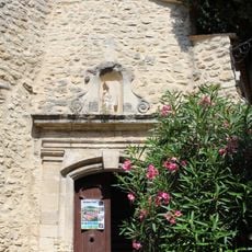
Chapelle des Pénitents de Lurs
3.7 kmReviews
Visited this place? Tap the stars to rate it and share your experience / photos with the community! Try now! You can cancel it anytime.
Discover hidden gems everywhere you go!
From secret cafés to breathtaking viewpoints, skip the crowded tourist spots and find places that match your style. Our app makes it easy with voice search, smart filtering, route optimization, and insider tips from travelers worldwide. Download now for the complete mobile experience.

A unique approach to discovering new places❞
— Le Figaro
All the places worth exploring❞
— France Info
A tailor-made excursion in just a few clicks❞
— 20 Minutes