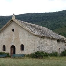
Signal de Lure, Mountain summit in Provence-Alpes-Cote d'Azur, France.
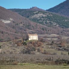
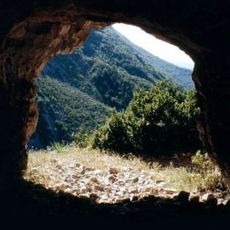
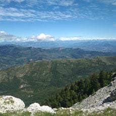
Signal de Lure is a 1,826 meter (5,991 feet) mountain in southern France's Provence region with sweeping views across the Luberon range and Durance valley. Several marked trails lead to the summit, where an astronomy observatory allows visitors to observe the night sky with equipment.
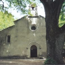
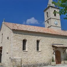
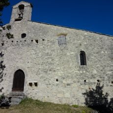
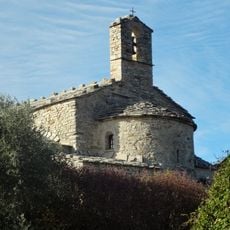
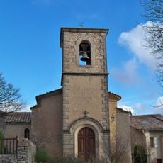
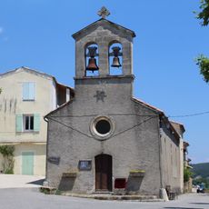
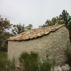
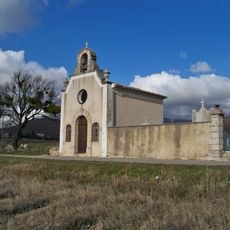
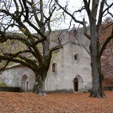
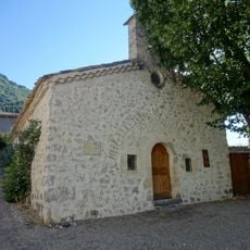
The name derives from a Latin word for observation point, indicating its ancient use as a strategic lookout over the surrounding region. Romans and later inhabitants built on this tradition, using the high ground to monitor and control the territory below.
The name comes from an ancient Latin word for observation point, reflecting its long role as a place to watch and study from high ground. Today visitors come here to experience the sweeping views and connect with the landscape that shaped the region's history.
The mountain is accessible via several marked hiking trails from different starting points, with the climb taking a few hours depending on your route. The nearby town of Cereste provides lodging and restaurants where hikers can rest before or after their visit.
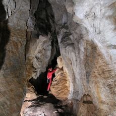
The mountain hosts rare butterfly and moth species including eastern eggars and large blues, along with specialized insects adapted to alpine conditions. This makes it an unexpected spot for naturalists and bug researchers to study alpine ecosystems on a relatively accessible high peak.
GPS coordinates: 44.12305,5.80257
Latest update: December 15, 2025 13:29
Abbaye Notre-Dame de Lure
3.1 km
Chastelard de Lardiers
10.9 km
Église Saint-Jean-Baptiste de Mallefougasse
9.9 km
Caverne des Peyrourets
4.9 km
Aven des Cèdres
4.9 km
Église Notre-Dame de Bethléem
5.5 km
Église Notre-Dame-et-Saint-Martin de Cruis
7.3 km
Trou de Saint-Pons
6.7 km
Église Saint-Étienne de Saint-Étienne-les-Orgues
8.9 km
Église Saint-Gervais-Saint-Protais de Bevons
9 km
Église Sainte-Anne de Lardiers
10.3 km
Pas de la Graille
2.6 km
Église Saint-Mary des Curniers
7.6 km
Église Saint-Pierre-ès-Liens de Saumane
9.6 km
Église Saint-André de Revest-Saint-Martin
10.8 km
Église Saint-Jean de Vière
11.2 km
Église Saint-Jean-Baptiste de L'Hospitalet
9.2 km
Église Saint-Jacques-et-Saint-Christophe de Montlaux
9.1 km
Église Saint-Sauveur de Valbelle
6.6 km
Église Saint-Vincent de Saint-Vincent-sur-Jabron
7 km
Chapelle Saint-Pons de Valbelle
6.7 km
Chapelle Saint-Honoré des Escoffiers
7.2 km
Oratoire Saint-Jean
8.8 km
Chapelle Saint-Claude de Lardiers
10.2 km
Abbatiale Notre-Dame de Lure
3 km
Chapelle Notre-Dame-des-Anges de Lange
9.6 km
Chapelle Saint-Claude de Noyers-sur-Jabron
7.1 km
Chapelle Saint-Joseph
9.1 kmVisited this place? Tap the stars to rate it and share your experience / photos with the community! Try now! You can cancel it anytime.
Discover hidden gems everywhere you go!
From secret cafés to breathtaking viewpoints, skip the crowded tourist spots and find places that match your style. Our app makes it easy with voice search, smart filtering, route optimization, and insider tips from travelers worldwide. Download now for the complete mobile experience.
A unique approach to discovering new places❞
— Le Figaro
All the places worth exploring❞
— France Info
A tailor-made excursion in just a few clicks❞
— 20 Minutes