
Vue sur l'étang de Montady et sur l'oppidum d'ensérune
Location: Montady
Accessibility: Wheelchair accessible
GPS coordinates: 43.32941,3.11939
Latest update: October 24, 2025 17:38
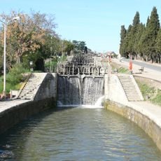
Fonseranes Lock
6.4 km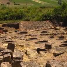
Oppidum d'Ensérune
2.3 km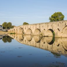
Pont Vieux of Béziers
7.3 km
Église Saint-Étienne de Capestang
6.1 km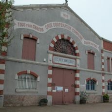
Cave cooperative de Maraussan
5 km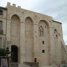
Château des archevêques de Narbonne
6 km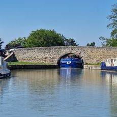
Capestang bridge
5.9 km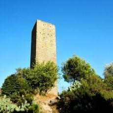
Tour de Montady
38 m
Tabarka Bridge
6.4 km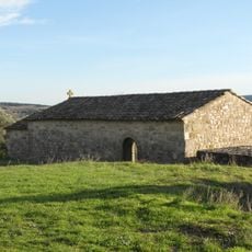
Chapelle Saint-Christol de Nissan-lez-Enserune
6.2 km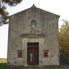
Chapelle Notre-Dame-de-la-Miséricorde de Nissan-lez-Enserune
3.7 km
Église Saint-Sylvestre-et-Sainte-Colombe de Colombiers
2.3 km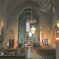
Église Saint-Saturnin
4.2 km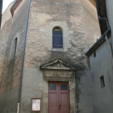
Église Saint-Baudile de Maureilhan
3.2 km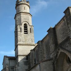
Église Saint-Saturnin de Cazouls-lès-Béziers
7.1 km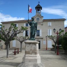
Monument de la République
3.1 km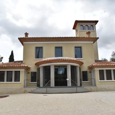
Ensérune museum
2.2 km
Domaine Castan
6.7 km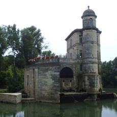
Moulin Cordier de Béziers
7.3 km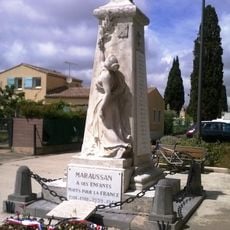
Maraussan war memorial
5.5 km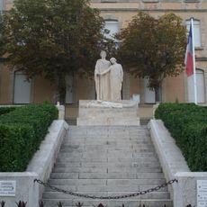
Capestang war memorial
6.3 km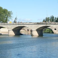
Pont Neuf
7.3 km
Cazouls-les-Beziers war memorial
7.4 km
Zinga Zanga
5.7 km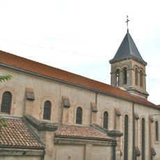
Église Saint-Geniès de Montady
140 m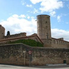
Château de Maureilhan
3.3 km
Château de Rouvignac
5.6 km
Reviews
Visited this place? Tap the stars to rate it and share your experience / photos with the community! Try now! You can cancel it anytime.
Discover hidden gems everywhere you go!
From secret cafés to breathtaking viewpoints, skip the crowded tourist spots and find places that match your style. Our app makes it easy with voice search, smart filtering, route optimization, and insider tips from travelers worldwide. Download now for the complete mobile experience.

A unique approach to discovering new places❞
— Le Figaro
All the places worth exploring❞
— France Info
A tailor-made excursion in just a few clicks❞
— 20 Minutes