
Drinking fountain, fountain
Location: Les Contamines-Montjoie
GPS coordinates: 45.82303,6.73523
Latest update: November 15, 2025 15:53
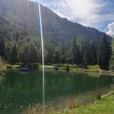
Parc de loisirs du Pontet
2.5 km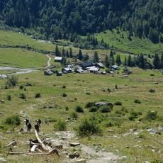
Chalets de Miage
2.6 km
Chalets du Truc
1.9 km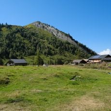
Mont Truc
2.2 km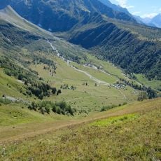
Pâturages de Miage
2.6 km
Gorges de Gruvaz
2.7 km
Ruins
2.3 km
Christianity, wayside shrine
1.9 km
Ruins
1.5 km
Ruins
2.2 km
Ruins
2 km
Ruins
2.3 km
Ruins
2.5 km
Ruins
2.3 km
Ruins
1.4 km
Ruins
2.2 km
Calvaire
1.3 km
Ruins
1.5 km
Memorial
629 m
Memorial, war memorial
629 m
Catholic church building, wayside cross, Christianity
2.6 km
Oratoire Saint-Antoine
2.7 km
Oratoire du Chon
2.1 km
Catholic church building, wayside shrine, Christianity
617 m
Wayside cross
878 m
Wayside shrine, Christianity, Catholic church building
822 m
Wayside cross
659 m
Waterfall
1.4 kmReviews
Visited this place? Tap the stars to rate it and share your experience / photos with the community! Try now! You can cancel it anytime.
Discover hidden gems everywhere you go!
From secret cafés to breathtaking viewpoints, skip the crowded tourist spots and find places that match your style. Our app makes it easy with voice search, smart filtering, route optimization, and insider tips from travelers worldwide. Download now for the complete mobile experience.

A unique approach to discovering new places❞
— Le Figaro
All the places worth exploring❞
— France Info
A tailor-made excursion in just a few clicks❞
— 20 Minutes