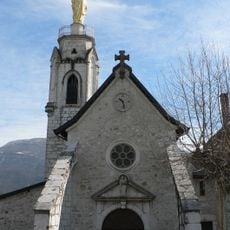
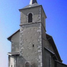
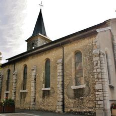
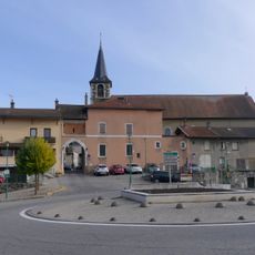
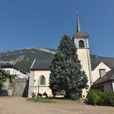
Rocher de Tormery, Mountain summit in Chignin, France.
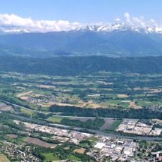
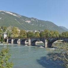
Rocher de Tormery is a summit in the French Prealps located at 1135 meters elevation, marking the southern boundary of the Bauges massif between Combe de Savoie and Grésivaudan. The peak is defined by dramatic cliff faces that rise above the surrounding terrain.
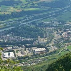
In 1913, a controlled explosion using hundreds of dynamite sticks removed approximately 8000 cubic meters of unstable rock to protect the village of Chignin from collapse hazards. This major intervention permanently altered the rock formation and demonstrates how human actions shaped the local geography.
The rock face displays the profile of a Tarentaise woman wearing traditional headwear when viewed from the southeast, earning the local nickname La Savoyarde. This recognizable silhouette has become part of how people in the valley see and talk about the landscape.
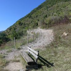
The hike takes about three and a half hours with an elevation gain of approximately 380 meters, including sections equipped with ladders and safety cables for secure passage. Sturdy hiking boots and a head for heights are necessary, especially on the steep and secured sections.
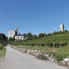
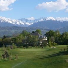
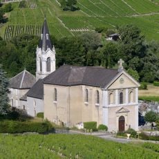
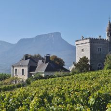
The Chignin-Bergeron vineyard grows at the base of the cliff face, creating an unusual pairing of viticulture and vertical rock formations. The vines benefit from the microclimate shaped by the surrounding stone.
The community of curious travelers
AroundUs brings together thousands of curated places, local tips, and hidden gems, enriched daily by 60,000 contributors worldwide.