
Scenic viewpoint
Location: Villarodin-Bourget
GPS coordinates: 45.20144,6.69278
Latest update: October 24, 2025 17:39
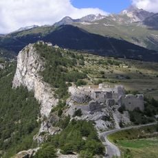
Forts de l'Esseillon
3.8 km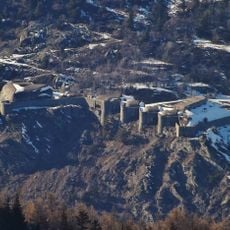
Fort du Replaton
2.7 km
Ouvrage Sapey
3.4 km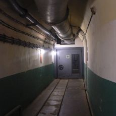
Ouvrage Saint-Gobain
1.1 km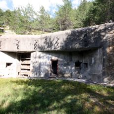
Ouvrage Saint-Antoine
4.1 km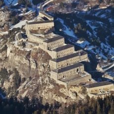
Fort Victor-Emmanuel
3.6 km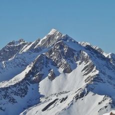
Rateau d'Aussois
5 km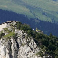
Fort Marie-Christine
4 km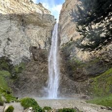
Cascade Saint-Benoît
3.6 km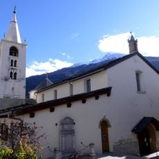
Église Saint-Pierre
1.4 km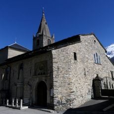
Église Notre-Dame-de-l'Assomption d'Aussois
4.8 km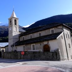
Église Saint-Thomas-Becket
2.6 km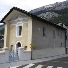
Chapelle Notre-Dame-des-Neiges
2.6 km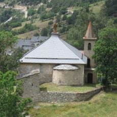
Chapelle Saint-Benoit (Avrieux)
3.3 km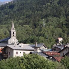
Église de l'Immaculée-Conception de Freney
5.1 km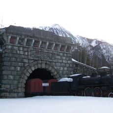
Ancienne entrée du tunnel ferroviaire du Fréjus, coté français
2.9 km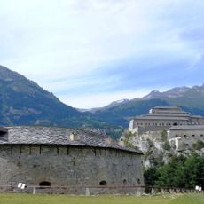
Redoute Marie-Thérèse
3.4 km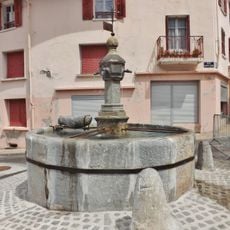
Fontaine en granit de Modane
1.6 km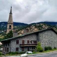
Église Notre-Dame-de-l'Assomption de Modane
1.4 km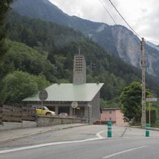
Église Notre-Dame de Fourneaux
3.6 km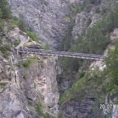
Pont du Diable
3.7 km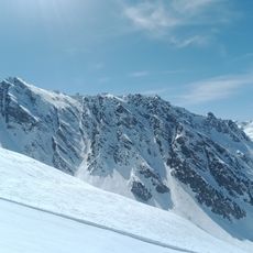
Mont Rond
3.3 km
Chapelle Notre-Dame-du-Charmaix de Valfréjus
3.8 km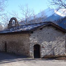
Chapelle Sainte-Marguerite d'Amodon
1.7 km
Chapelle Saint-Jacques de Modane
2 km
Rizerie des Alpes
1.7 km
Chapelle Notre-Dame-de-la-Salette
4.8 km
Chapelle du fort du fort Victor-Emmanuel
3.8 kmReviews
Visited this place? Tap the stars to rate it and share your experience / photos with the community! Try now! You can cancel it anytime.
Discover hidden gems everywhere you go!
From secret cafés to breathtaking viewpoints, skip the crowded tourist spots and find places that match your style. Our app makes it easy with voice search, smart filtering, route optimization, and insider tips from travelers worldwide. Download now for the complete mobile experience.

A unique approach to discovering new places❞
— Le Figaro
All the places worth exploring❞
— France Info
A tailor-made excursion in just a few clicks❞
— 20 Minutes