Drinking fountain, water well
Location: Aiguebelle
Location: Val-d'Arc
GPS coordinates: 45.54233,6.30474
Latest update: November 14, 2025 16:04
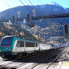
Culoz–Modane railway
946 m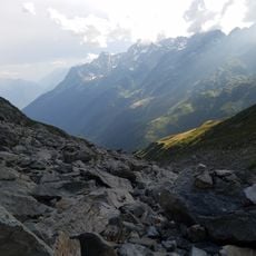
Sentier de grande randonnée 738
145 m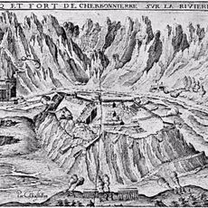
Château de Charbonnières
629 m
Fort d'Aiton
4.4 km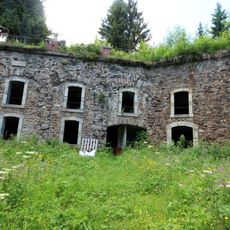
Fort de Montgilbert
4.1 km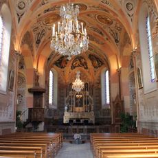
Église Saint-Barthélémy de Montsapey
3.3 km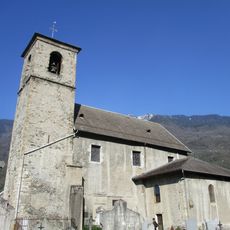
Église Saint-Christophe d'Aiguebelle
125 m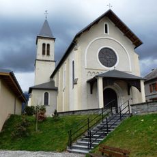
Église Saint-Pierre de Montgilbert
1.7 km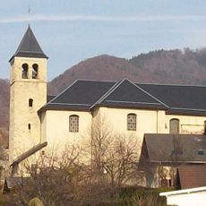
Église Saint-Laurent d'Aiton
4.3 km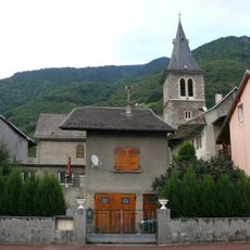
Église de l'Assomption de Randens
522 m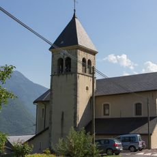
Église Saint-Georges de Saint-Georges-d'Hurtières
4.7 km
Scenic viewpoint
501 m
Scenic viewpoint
638 m
Scenic viewpoint
4.5 km
Scenic viewpoint
3.2 km
Memorial, war memorial
2.2 km
Scenic viewpoint
3 km
Scenic viewpoint
1.5 km
Stele, memorial
3 km
Wayside cross
1.7 km
Wayside cross
4.2 km
Memorial
2.2 km
Catholic church building, wayside cross, Christianity
3.4 km
Memorial, stele
2.9 km
Stele, memorial
3.6 km
Stele, memorial
3.9 km
Ruine du Château des Hurtières
4.5 km
Cascade Val d’Arc
1.3 kmReviews
Visited this place? Tap the stars to rate it and share your experience / photos with the community! Try now! You can cancel it anytime.
Discover hidden gems everywhere you go!
From secret cafés to breathtaking viewpoints, skip the crowded tourist spots and find places that match your style. Our app makes it easy with voice search, smart filtering, route optimization, and insider tips from travelers worldwide. Download now for the complete mobile experience.

A unique approach to discovering new places❞
— Le Figaro
All the places worth exploring❞
— France Info
A tailor-made excursion in just a few clicks❞
— 20 Minutes