
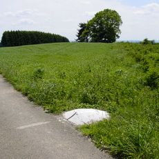
Scenic viewpoint
Location: Cherain
Location: Gouvy
GPS coordinates: 50.17623,5.87374
Latest update: October 24, 2025 17:19
Kneiff
11.8 km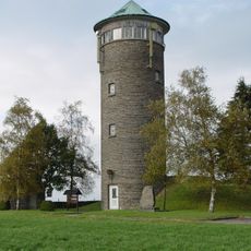
Buurgplaatz
10.8 km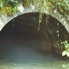
Bernistap Tunnel
8 km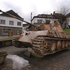
Tank memorial
7.9 km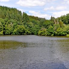
Parc naturel des Deux Ourthes
7.7 km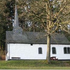
Helzerklaus
7.4 km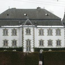
Château Beurthé
4 km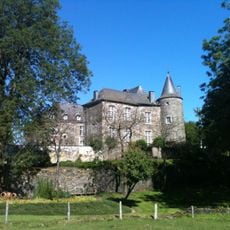
Tavigny Castle
8 km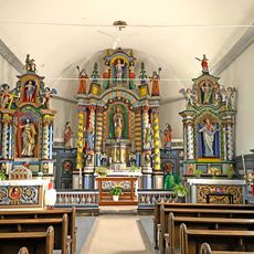
Église Saint-Pierre de Beho
10.1 km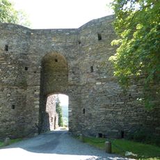
Château des Comtes de Salm
10.5 km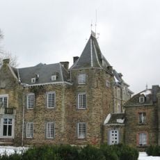
Castle of Lihérin
4.4 km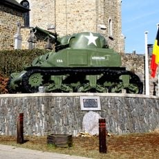
Tank memorial
11.1 km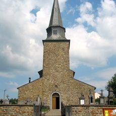
St. Vincent church of Cherain
777 m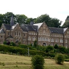
Couvent de Cinqfontaines
12.3 km
Chapelle Sainte-Lucie
12.3 km
Église Saint-Lambert
11.4 km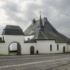
Chapelle Saint-Aubin
9.6 km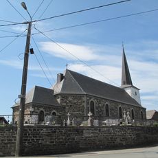
Sankt Martinuskirche
11.8 km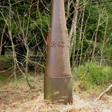
Boundary mark LB 284
9 km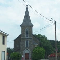
Saints Peter and Paul Church of Steinbach
4 km
Grenzstein Belgien
11.1 km
Grenzstein Belgien
10.8 km
Grenzstein Belgien
11.2 km
Boundary mark LB 282
6.9 km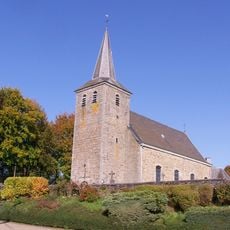
Église Saint-Aubin
5.1 km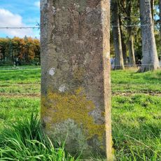
Grenzstein Belgien
10.8 km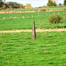
Boundary mark LB 279
7 km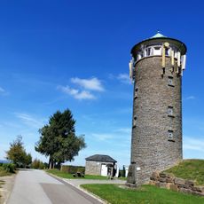
Château d'eau Huldange
10.8 kmReviews
Visited this place? Tap the stars to rate it and share your experience / photos with the community! Try now! You can cancel it anytime.
Discover hidden gems everywhere you go!
From secret cafés to breathtaking viewpoints, skip the crowded tourist spots and find places that match your style. Our app makes it easy with voice search, smart filtering, route optimization, and insider tips from travelers worldwide. Download now for the complete mobile experience.

A unique approach to discovering new places❞
— Le Figaro
All the places worth exploring❞
— France Info
A tailor-made excursion in just a few clicks❞
— 20 Minutes