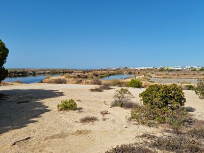
Parque Natural da Ria Formosa, Natural coastal lagoon in Algarve, Portugal.
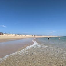
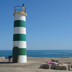
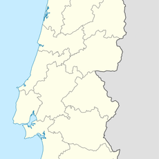
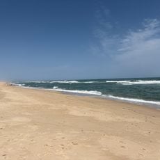
The Parque Natural da Ria Formosa is a protected coastal area along the southern Algarve shore that spans a wide territory. It consists of a branching system of lagoons, marshlands, islands, and sandy beaches that together form a complex coastal landscape.
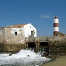
The lagoon system was used by fishing communities for generations to gather resources, and the salt-rich environment also enabled salt harvesting. These traditional practices shaped the area permanently and eventually led to its protection as a reserve.
The park remains intertwined with local fishing traditions, where people harvest shellfish and prepare regional seafood dishes using methods passed down through families. Walking through reveals how the landscape itself shapes the daily work and food culture of those who live alongside it.
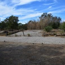
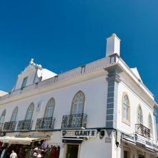
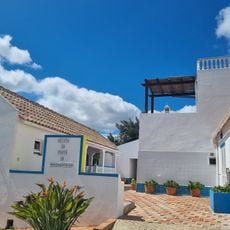
The park has multiple entry points with information centers where you can learn about the natural environment. For the best experience, wear comfortable shoes and prepare for changing weather conditions depending on the season.
The area holds the last European breeding grounds for certain bird species that have vanished elsewhere on the continent. Additionally, an endangered Portuguese water dog population lives here, a local breed with significant ties to the region's past.
The community of curious travelers
AroundUs brings together thousands of curated places, local tips, and hidden gems, enriched daily by 60,000 contributors worldwide.