Point Nemo, Pole of inaccessibility in South Pacific Ocean, international waters.
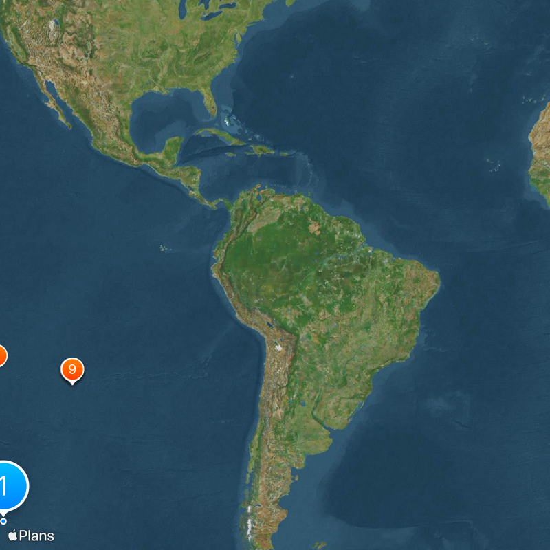
Located at coordinates 48°52.6′S 123°23.6′W in the South Pacific Ocean, this point represents the most remote oceanic location on Earth, approximately 2,688 kilometers from the nearest land. The spot sits at the center of a vast expanse of open water, farther from any coast than any other place in the world's oceans. Astronauts aboard the International Space Station pass closer to this location than any human on solid ground.
Croatian-Canadian engineer Hrvoje Lukatela first calculated the precise coordinates of this oceanic pole of inaccessibility in 1992 using digital mapping software. The mathematical determination required analyzing distances from every known coastal point on Earth. Since the mid-1970s, space agencies have directed more than 260 deorbited spacecraft to this area, beginning with Soviet missions and continuing with vehicles from multiple nations.
Named after Captain Nemo from Jules Verne's novels, this maritime coordinate represents complete isolation from human civilization. Space agencies worldwide use this region as a graveyard for controlled spacecraft reentry, reflecting its role as the most remote disposal site on Earth.
This location remains inaccessible to ordinary travelers, situated several days' journey from any inhabited island by sea. No commercial shipping routes or flight paths cross this remote section of the South Pacific. Only scientific expeditions or private sailing teams attempting ocean crossings occasionally pass through these coordinates during their voyages.
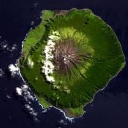
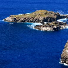
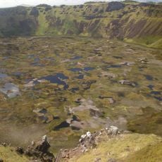
The three nearest land points are Ducie Island to the north, Motu Nui off Easter Island to the northeast, and Maher Island in Antarctica to the south, each roughly equidistant at about 2,688 kilometers. This region experiences some of the lowest biological productivity in any ocean due to minimal nutrient circulation. Over 100 tons of spacecraft debris now rest on the seafloor beneath these waters, including the Russian space station Mir.
The community of curious travelers
AroundUs brings together thousands of curated places, local tips, and hidden gems, enriched daily by 60,000 contributors worldwide.