Cochiti Golf Course
Location: Sandoval County
GPS coordinates: 35.66910,-106.35118
Latest update: November 20, 2025 02:27
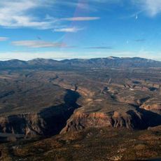
Pajarito Plateau
20.7 km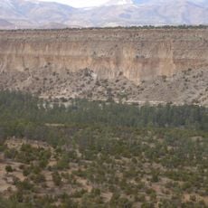
Bandelier Tuff
10.9 km
Dome Wilderness
7.9 km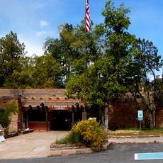
Bandelier CCC Historic District
14.3 km
Santo Domingo Indian Trading Post
17.8 km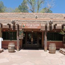
Frijoles Canyon Visitor Center
14.2 km
Ancho Rapid
16.2 km
Los Alamos VLBA station
15.2 km
Bear Jump
11.2 km
La Bajada Cemetery
16.2 km
Cochiti Reservoir
5.1 km
The Narrows
15 km
Frijoles Canyon Overlook
14.8 km
Anasazi Ruins
14.9 km
Alcove House
14.6 km
Alcove
15.1 km
Amphitheater
15.5 km
Juniper Amphitheater
15.5 km
Frijoles Canyon Overlook
14.7 km
Frijoles Canyon Overlook
14.7 km
Exchange Hotel Complex Historic Site
14.3 km
Scenic Overlook
14.1 km
Scenic viewpoint
14.6 km
Frijoles Canyon Viewpoint
19.5 km
Scenic viewpoint
18.8 km
Upper Frijoles Falls
13.4 km
Lower Frijoles Falls
13.2 km
Monument featuring aircraft, aircraft model
17.6 kmReviews
Visited this place? Tap the stars to rate it and share your experience / photos with the community! Try now! You can cancel it anytime.
Discover hidden gems everywhere you go!
From secret cafés to breathtaking viewpoints, skip the crowded tourist spots and find places that match your style. Our app makes it easy with voice search, smart filtering, route optimization, and insider tips from travelers worldwide. Download now for the complete mobile experience.

A unique approach to discovering new places❞
— Le Figaro
All the places worth exploring❞
— France Info
A tailor-made excursion in just a few clicks❞
— 20 Minutes