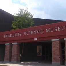
Sandoval County, Administrative division in central New Mexico, United States
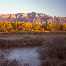
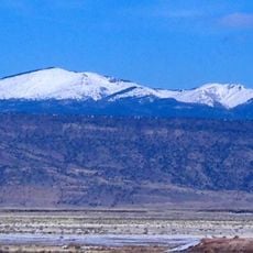
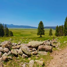
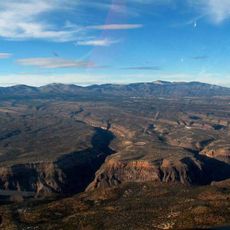
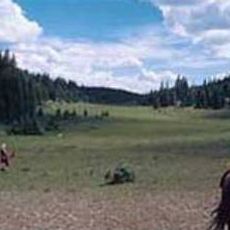
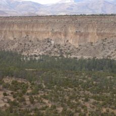
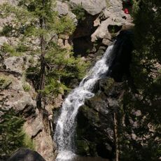
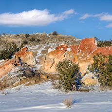
Sandoval County is an administrative division in central New Mexico that spreads across diverse landscapes and terrain. The county encompasses desert areas, mountain ranges, and numerous waterways that define its physical character.
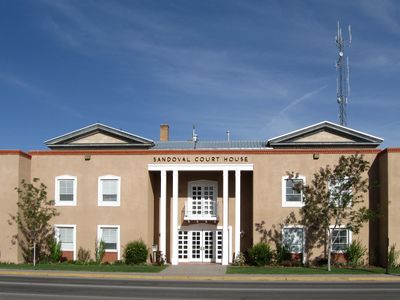
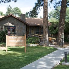
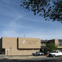
The county was established in 1903 and named after a prominent Spanish land-owning family from the colonial period. Its administrative center relocated from Corrales to Bernalillo in 1905 and has remained there since.
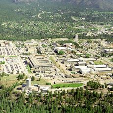
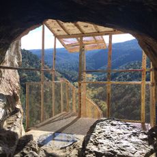
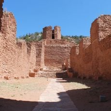
The territory is home to twelve Indian reservations and two joint-use areas that hold deep meaning for the communities living here. Visitors can encounter the presence and influence of these communities throughout different parts of the county.
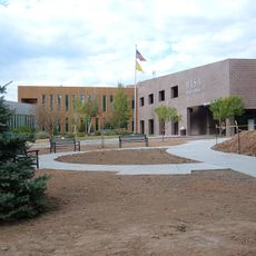
The county covers a large area, so planning ahead helps determine which parts to visit based on your interests. The administrative center in Bernalillo is a central location where residents and visitors can handle official matters.
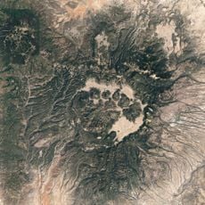
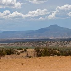
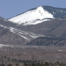
Redondo Peak rises within the county boundaries and ranks among the highest summits in this part of New Mexico. This mountain shapes the landscape and is visible from many locations across the county.
Location: New Mexico
Inception: 1903
Capital city: Bernalillo
Shares border with: Rio Arriba County, Los Alamos County, Santa Fe County, Bernalillo County, Cibola County, McKinley County, San Juan County
Website: http://sandovalcounty.com
GPS coordinates: 35.69000,-106.85000
Latest update: December 20, 2025 14:53
Los Alamos National Laboratory
51.8 km
Sandia Mountains
64.6 km
Valles Caldera
32.3 km
Mount Taylor
85.2 km
La Luz Trail
63.7 km
Georgia O'Keeffe Home and Studio
75.1 km
Sandia Cave
63 km
Valles Caldera National Preserve
32.3 km
Cerro Pedernal
61.2 km
Pajarito Plateau
52.8 km
Bradbury Science Museum
54.2 km
Chicoma Mountain
54.9 km
Fenton Lake State Park
24.2 km
Coronado State Monument
48.1 km
San Pedro Parks Wilderness
45.1 kmRedondo Peak
33.1 kmSandia Mountain Wilderness
65.5 km
Bandelier Tuff
48.4 km
Jemez Historic Site
17.7 km
Jemez Falls
26.2 km
Ojito Wilderness
18.4 kmJemez National Recreation Area
17.6 km
Los Alamos Historical Museum
53.9 km
Budaghers
53.4 km
Mesa Public Library
53.8 kmFenton Hill Observatory
26.5 km
New Mexico State Road 126
30.1 kmDome Wilderness
43.4 kmVisited this place? Tap the stars to rate it and share your experience / photos with the community! Try now! You can cancel it anytime.
Discover hidden gems everywhere you go!
From secret cafés to breathtaking viewpoints, skip the crowded tourist spots and find places that match your style. Our app makes it easy with voice search, smart filtering, route optimization, and insider tips from travelers worldwide. Download now for the complete mobile experience.
A unique approach to discovering new places❞
— Le Figaro
All the places worth exploring❞
— France Info
A tailor-made excursion in just a few clicks❞
— 20 Minutes